
Latest models have decreased the amount of snow falling today and this evening to about 1-2 inches. Winds really pick up to 30 mph with higher gusts starting around 7PM with the actual frontal passage.
Weather Update
Latest NAM data has snow starting early Saturday afternoon and continuing past midnight.
2-4 inches possible by Sunday morning. High winds during the afternoon and after the frontal passage, which will occur about 7 PM.
Arctic Frontal Passage For Saturday Evening
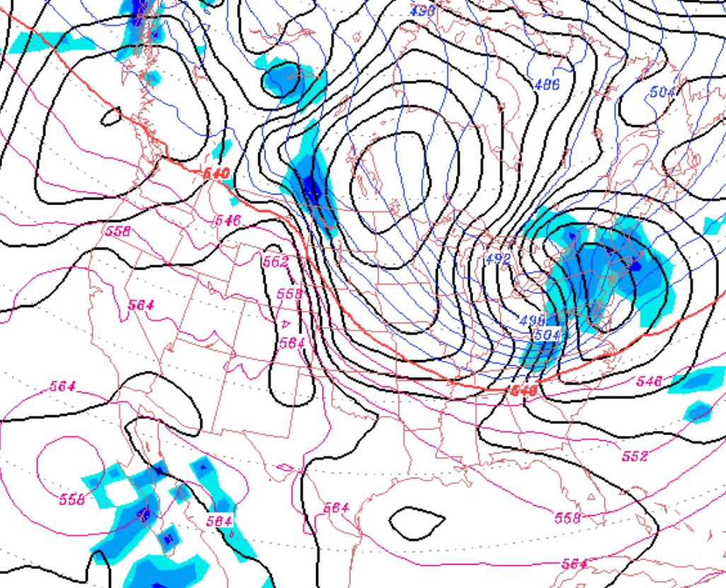
As has been advertised all week, another clipper system associated with an arctic cold front will move through our area late Saturday afternoon into Saturday evening. All models have been very consistently predicting a QPF of about 0.15 inches water, which will translate into 2-3 inches of snow.
After a cloudy day, Saturday, the snow will start late Saturday afternoon and will end during the evening hours. Temperatures will be just under 30 in the afternoon, but will drop precipitously early Saturday evening as winds dramatically increase to 30-40 mph with higher gusts. A memorable frontal passage!
Temperatures during the day Sunday will be cold despite some sunshine, high near 16, with windy conditions. Temperatures Sunday night into Monday will fall to 1-3 degrees F in Philadelphia with lower temps outside the city.