Winter Storm Outlook

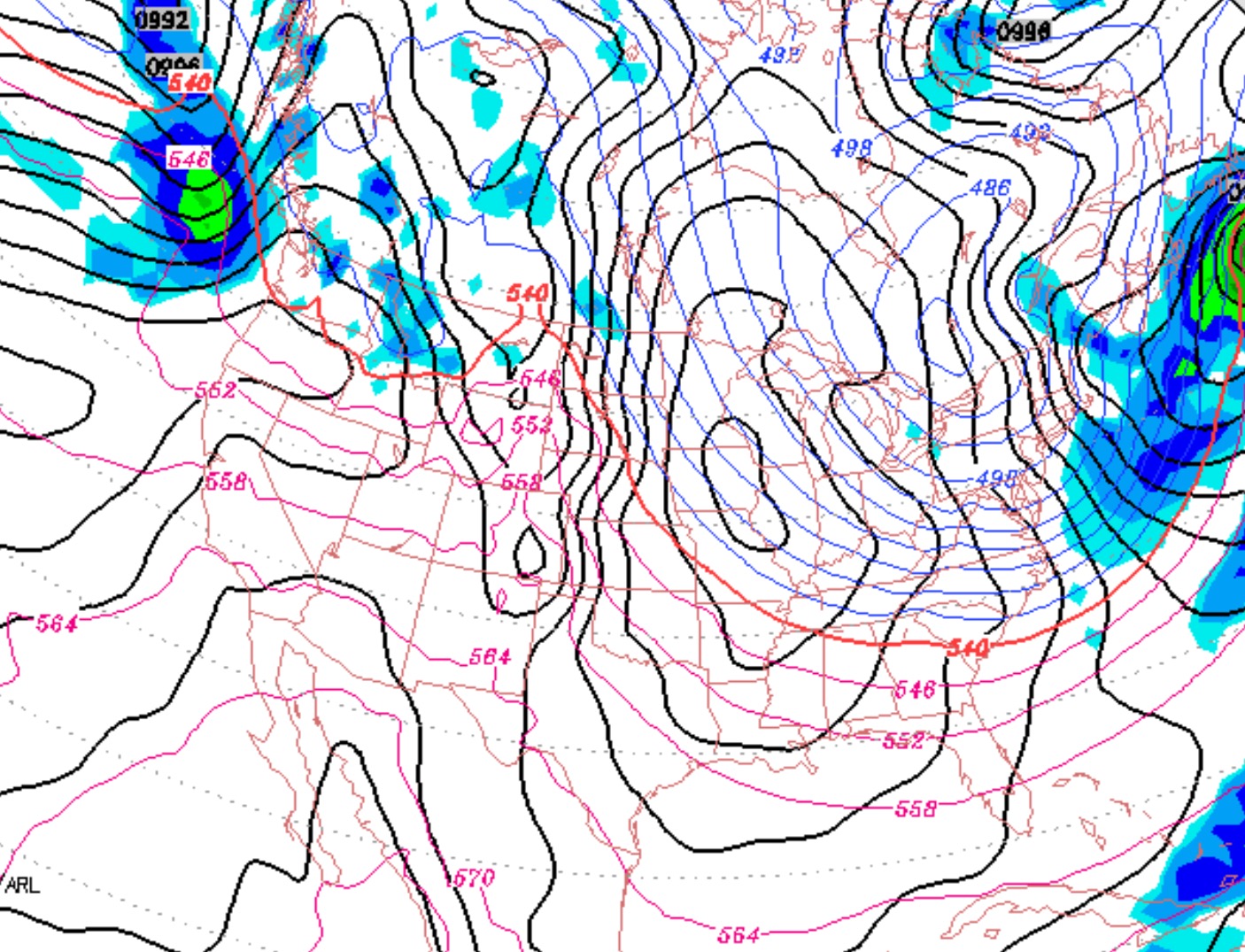
The models have been consistently predicting the development of a low pressure system, moving in from the south, during the Tuesday time-frame.

Over the past few models runs, the timing of the onset of precipitation has moved up to Monday afternoon, with the eventual track of the storm just west of our area, allowing a southerly wind to bring temperatures up for rain.

 Sat 6 PM: The latest NAM has the snow starting Monday morning.  Several inches of snow possible by Monday evening.  While the NAM often overestimates QPF in this timeframe, based on the NAM QPF it looks  like  3-4 inches possible in PHL and more north and west.  The biggest concern is the possibility of an extended period of freezing rain Monday evening.

Sat 11pm: the NAM has backed off of its high QPF and it now is similar to the GFS.  The NAM still has snow starting earlier, in the late morning.  The model’s QPF before a change to sleet  around 7 pm is 0.28 (NAM) and 0.19 (GFS).   So 2-3 inches of snow by evening.  Both models are predicting a rapid warmup to occur in the evening, but sometimes this is  predicted to occur too quickly.

Various elements of this storm have changed recently.

  • The onset is earlier on Monday, allowing the precip to start as snow.  The models (as always) vary with QPF values, but the NAM has ~0.40 inches and the GFS ~0.25 inches water falling as snow before a changeover to sleet and freezing rain.  So snowfall amounts by Monday evening (before the changeover) may be as much as 3-4 inches, and more north and west of the city.
  • The changeover occurs sometime Monday evening or night, to sleet and possibly a period of freezing rain in some northern and western areas.  Changeover in south Jersey will be sooner.
  • The total precip, originally expected to be almost two inches of water, has diminished in the current model runs to half of that, suggesting the modeling of this storm is not final.

By daybreak Tuesday, the precip should be all rain, assuming no further change in the track of the storm.  Previous model runs suggested a changeover back to snow at the end, but that is less clear.

Winter Weather Update- Fri

No real change in the very cold weather forecast this weekend.

However…

Yesterday, I wrote about the next storm expected to reach our area late Monday into Tuesday. The trend over the past few days has been to move the track westward, putting us on the warm side of the storm, giving us a transition to rain.  In fact, it was expected to get quite warm on Tuesday.

Today’s GFS has moved to a different possibility, with the cold air maintaining its grip longer in our area, allowing a greater chance of snow Monday evening and freezing rain/sleet into Tuesday.  There even was the suggestion that enough cold air would remain to prolong the snow in southeastern PA well into Tuesday.

So, what looked like a likely snow->sleet> freezing rain>heavy rain scenario for late Monday into Tuesday is now not so clear-cut.  There may be a more snow, sleet and freezing rain from this storm in SE Pennsylvania.    Stay tuned.

Fri 10:45pm:  Latest NAM model  indicates snow may start late morning or noon Monday and several inches may accumulate before a changeover to sleet and freezing rain late Monday or Monday night, especially north and west.  New Jersey, south and east, will have a more rapid warmup.. This may be a significant storm, especially north and west of PHL before a changeover to rain.

The timing and track of this storm continues to change.  While an eventual transition to all rain still is most likely, the models often predict the lower atmosphere to warm up faster than actually occurs.

Philly Weekend Weather Forecast

The deep dip in the jet stream today will be reinforced with another shot of cold air on Saturday.

GFS Forecast Saturday afternoon

The polar front moves through before daybreak Saturday morning, the winds pick up and temperatures stay steady during the day.  Mostly sunny, some clouds.  High 19.

Due to the winds, Saturday may feel like the coldest day of the weekend, but in terms of temperature, the cold air will be entrenched Sunday, and high temperatures may just hit 15!   Less windy on Sunday with partly sunny skies.

Storm outlook:

A storm approaches from the south late Monday.  Light snow late Monday afternoon, will change  to sleet and freezing rain, then rain likely by Tuesday morning.   Quite mild by Tuesday, with heavy rain expected.   Possibly a brief snow shower late Tuesday night as temperatures drop again.   An upper air disturbance may bring a period of light snow on Wednesday.

Weather… and Other Things 'Up in the Air'