Philly Winter Weather Update

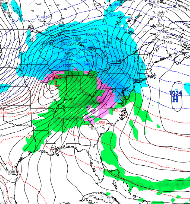
Friday 4 PM Update: Latest NAM data maintains ‘cold air damming ‘ in the immediate PHL area.  A more significant ice storm is possible before the changeover to rain.  The next NAM data available about 9:40 PM and I’ll update around that time.

Here’s the latest trends for tomorrow morning’s winter weather–

The trend has been for temperatures in the upper atmosphere and the surface to warm a bit faster.  The latest NAM shows temperatures near the surface to be above freezing by 7 AM in Philadelphia.

So, for Philadelphia, it’s looking like less snow, that quickly turns to sleet and freezing rain before daybreak. It will probably be all rain by daybreak in the city, so any small accumulation of sleet and snow  will be slush early.

Areas to the immediate north and west will get less snow and more freezing rain. Significant icy conditions possible for several hours  after daybreak before changing to all rain by mid to late morning.

The rain will be heavy in the morning, tapering and ending early afternoon.

I’ll update about 9:40 this evening, after this evening’s NAM FOUS data becomes available.

As mentioned last week, the models continue to advertise a warm up around X-mas 


Philly Winter Weather Update

The models have been incredibly consistent with the forecast of precipitation moving in before daybreak on Saturday.

Update:  Light snow moves in after 1AM Saturday.

Expect some light snow before daybreak Saturday morning, but temperatures in the upper atmosphere warm up rapidly and changeover to sleet and freezing rain should occur in the early morning.

The big questionmark is how fast surface temperatures warm up.  The models always forecast too fast a warmup at the surface, so it is possible that much of Saturday morning will have a prolonged period of freezing rain and icy conditions, especially north and west of the city.

A more accurate handle on the vertical temperature profile for Saturday morning won’t be available until Friday evening.   Stay tuned.

Philly Winter Weather Outlook

Early Saturday Parallel GFS Model Forecast

The next arctic outbreak will reach us on Wednesday and will remain with us through Friday.

The active pattern continues and an impulse coming in from the Pacific will intensify into an intense low pressure system in the middle of the country.

As mentioned in my followup comments yesterday, we’re in a pattern where precipitation that moves in will be accompanied by a warm up.  For the rest of the month, the models are depicting us in the warm sector of storms that move up to our west.

The warmup is expected on Saturday, but with such prior frigid weather in place, the change to rain will likely be delayed with a prolonged period of freezing rain.

Right now, it looks like we’ll wake up to some snow Saturday morning, but it will change to freezing rain in the morning.  A prolonged period of freezing rain may be a possibility during the day on Saturday.

It should be said that this potential winter weather storm is a recent development in the models.  Much can change in the upcoming days, so don’t hang your hat on this forecast; expect changes.

Weather… and Other Things 'Up in the Air'