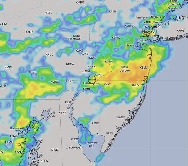
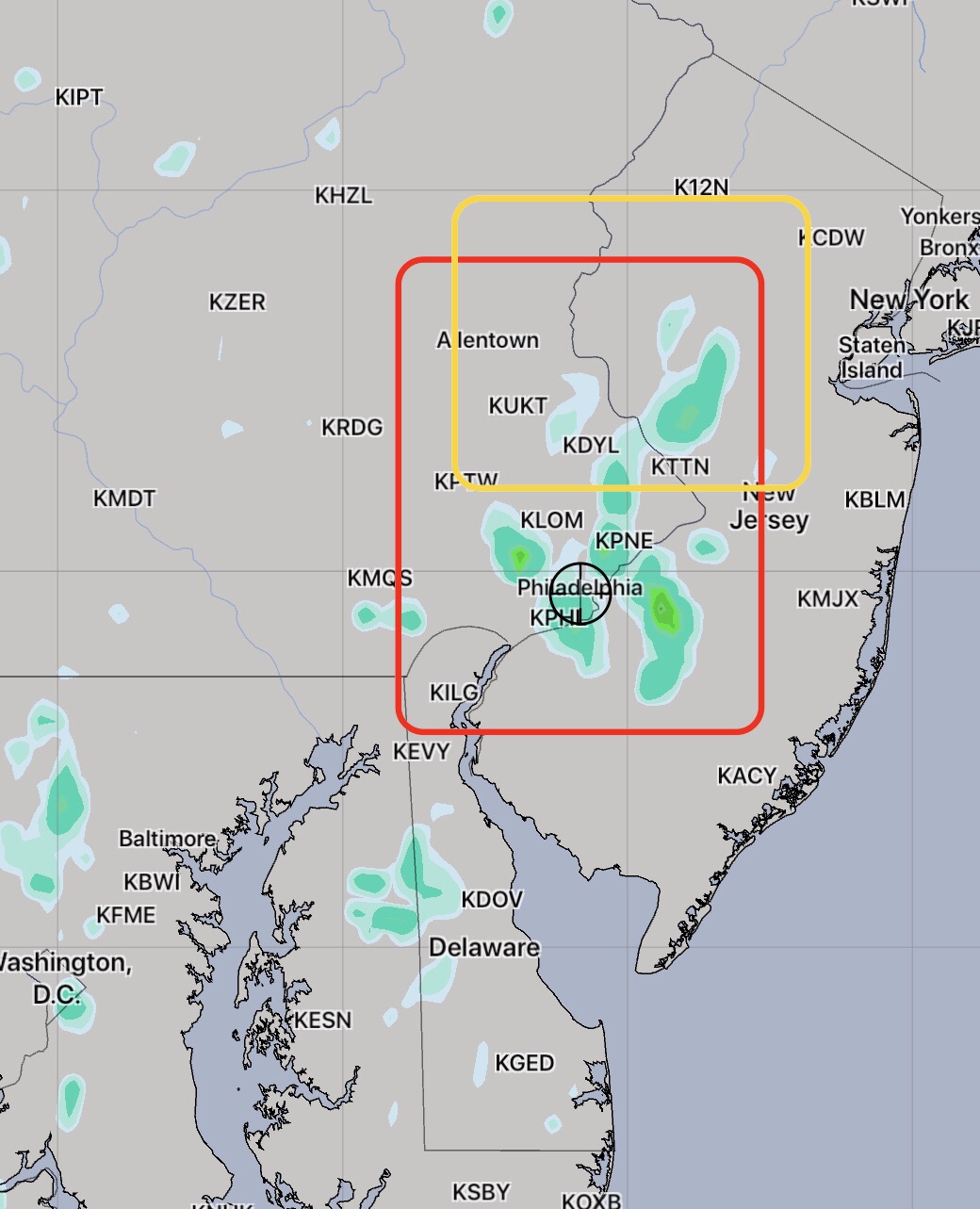
[su_note note_color=”#d9f2da”]10:30 AM Sun Update: Both versions of today’s WRF show light, widely scattered showers Sunday mid to late afternoon. Largest coverage is south and west of the city. [/su_note]
Last night’s models were way off on the scattered showers and thunderstorms that developed late morning in the western suburbs and moved into Philadelphia. They were better with the second wave of storms that developed dynamically in place around 6pm and moved east. The third wave of storms about 8 pm were in a line that did lose, as predicted, a lot of its punch as it approached the city. Still, the timing was off.
This morning’s models didn’t do much better, although the HIREF did the best. Unfortunately, the HIREF didn’t become available until 11:38 am, long after I was out biking and dodging raindrops.
So what about Sunday?
The front is slowly moving through tonight and is expected to still be just south of the city on Sunday. Considerable cloudiness for the morning and much of the afternoon,
One version of tonight’s WRF just available has clearing mid afternoon, one version has scattered light showers late afternoon from the city on south. High 84-86 with lower humidity.