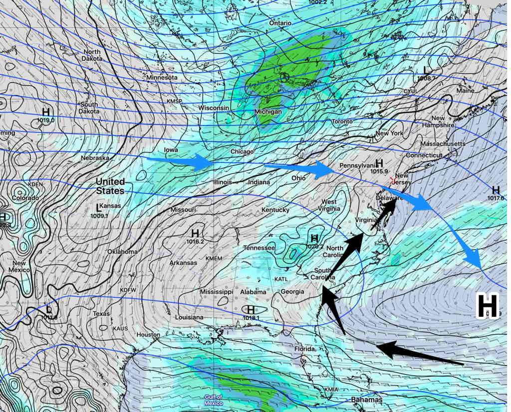
A weak frontal system will move through late Friday with some very light widely scattered showers preceding the frontal passage. A few areas might have a heavy thunderstorm.
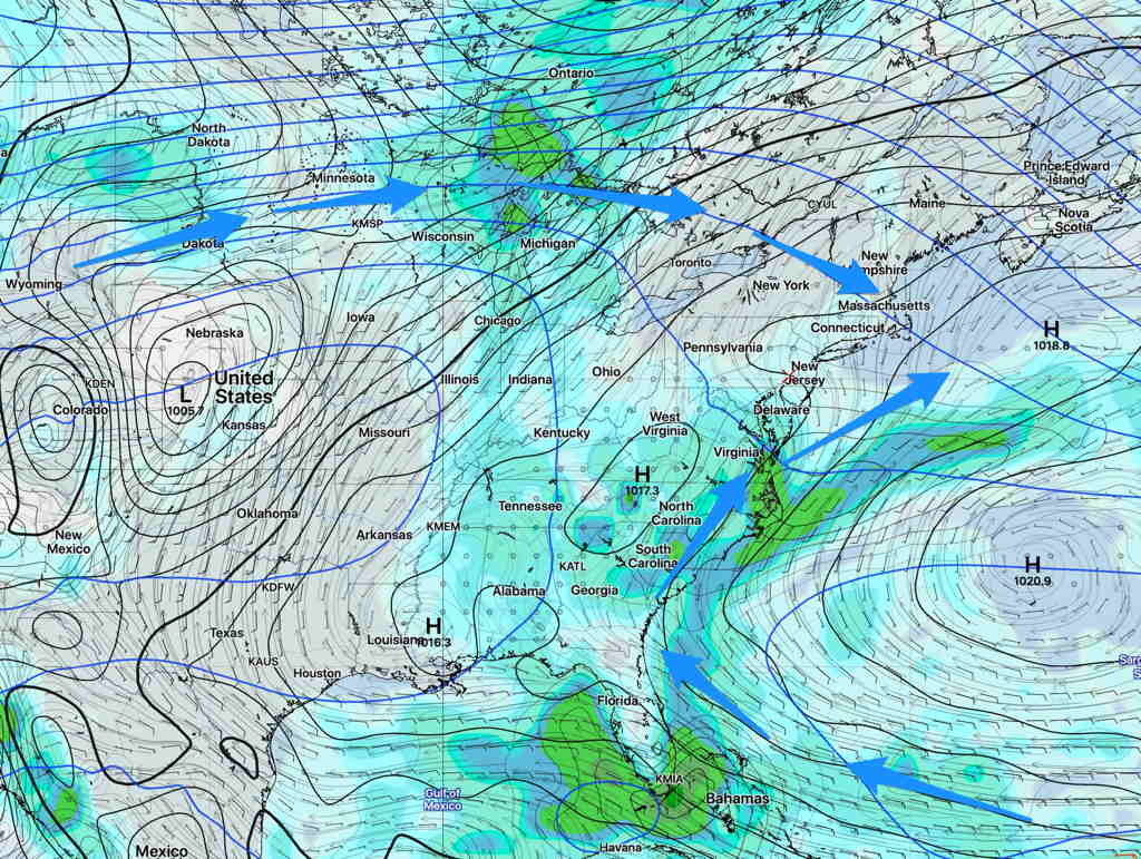
As mentioned earlier in the week, we are transitioning from an upper air trough pattern to more of an upper air ridge pattern this weekend. A Bermuda High will pump in hotter and more humid air. (The ridging predicted earlier in the week will be less pronounced than previously thought.)
This afternoon’s models have continued to forecast temperatures in the 90s for Saturday (93º) and Sunday (96º) afternoon. Here’s the current NAM temp forecast for Sunday—

At the maximum heat of the day, dew point temperatures above 70º will be south and west of the immediate PHL area.
So with the high July heat, there will be no corresponding increase in water vapor; relative humidity and dew points will correspondingly drop to the somewhat less oppressive 60s during the maximum heat of each afternoon in our immediate area—

Little or no chance of rain over the weekend.
As is often the case, dew points will increase at night, so it will be very humid during the evenings and night time hours. Some fog is likely in NJ Saturday night and early Sunday morning.