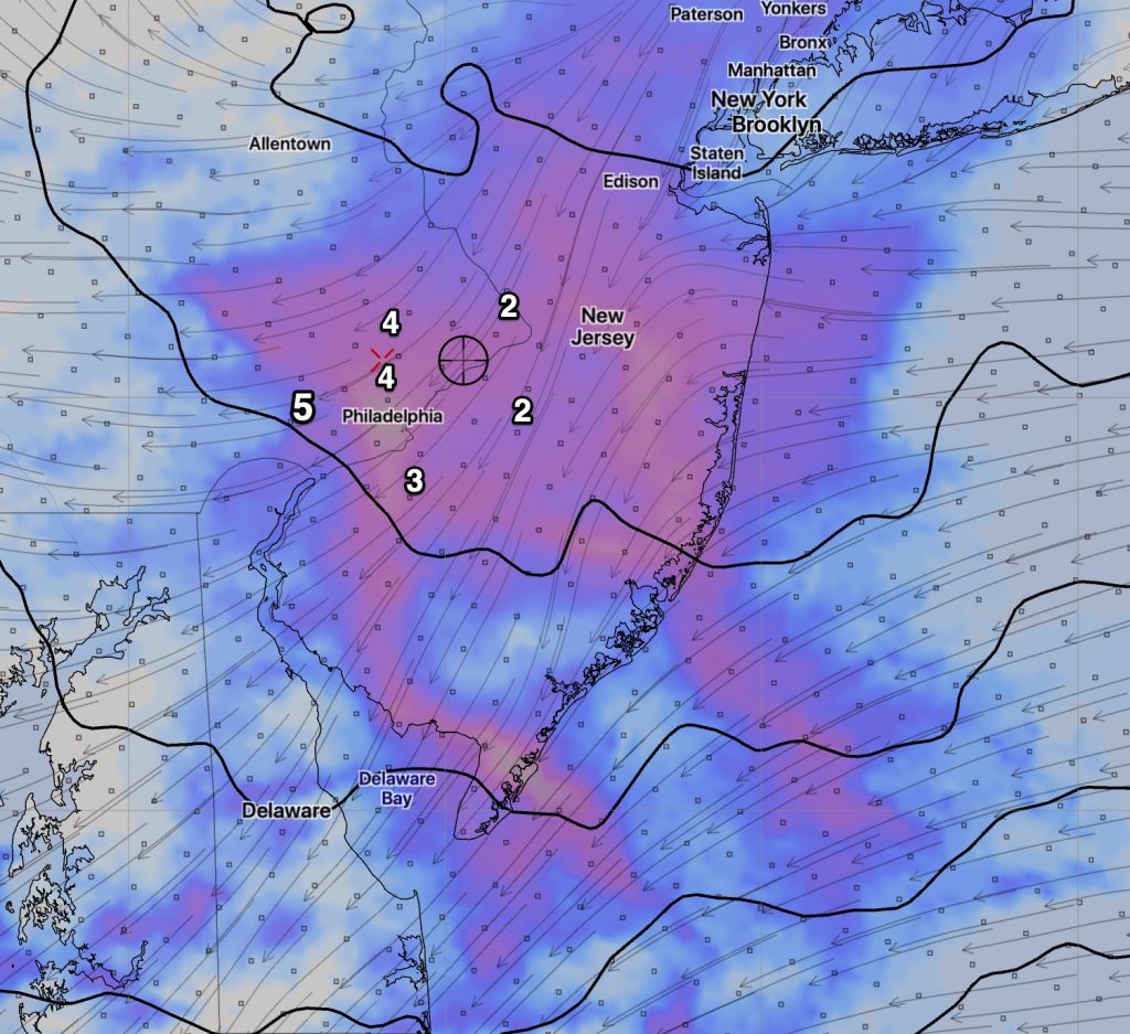
A very difficult forecast for tonight.
Yet another wave of low pressure will move along the stalled boundary to our south. The GFS and NAM have similar QPF values, the NAM having a greater QPF (as almost always) than the GFS. The approximate QPF is 0.35 inches water.
The big forecast issues are borderline thermal profiles, both aloft and at the surface. (Actually, temperatures at the “surface” are really defined and measured at 2 meters (6feet) above ground.)
The GFS is warmer at the surface and colder at critical levels. The NAM is colder at the surface and borderline warm for snow at the onset.
Here’s a video of the NAM NEST high resolution change in temperature at critical levels- the white line/area and indicates the snow – sleet/rain changeover line:
Both models have similar onset of precipitation – 9 -10 PM tonight and both have the precip ending by 7 – 8 AM Saturday.
I’m going to lean towards the NAM with a rain/sleet/snow mix at the onset, changing slowly to all snow overnight. At times the precip will mix back to sleet and rain.
Areas to the north of the white areas in the video will be all snow. 2-4 inches possible in far northwest. Closer to the city, 1-2 soggy inches, mostly grassy surfaces.
This forecast is as good as I can do it.
BTW, the Sunday evening storm is still too much in flux to call. The GFS is warmer and the NAM is colder. It’s likely mostly rain, but that forecast can change. I’ll focus on this over the weekend.
I’ll be updating this forecast tonight, probably with the NAM early data around 9:15 PM.

