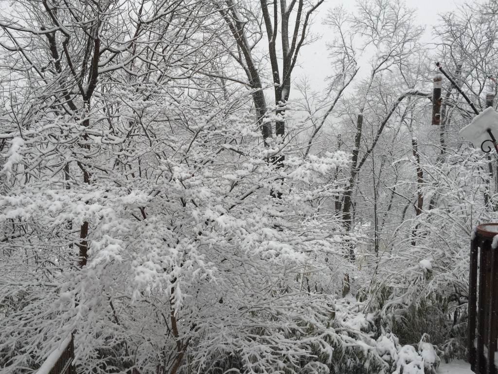
This morning’s NAM data just became available. Total QPF from 7AM to 7PM is about 0.67 inches water for PHL. Snow will be tapering later afternoon, and will be ending a bit after 7PM.
(The GFS-based LAMP guidance has the snow lasting until 9 PM. while the NAM-based HRRR guidance has it ending about 6 PM.)
With that QPF, I’m still going with about 10, possibly 12 inches of snow for the PHL area . Temperatures are going to drop into the mid to lower 20s, so water-to-snow ratio will increase.
People following this blog can see how difficult it is to nail down snow totals– the QPF values change model run to model run and between different models. Of course, any QPF value is for a specific geographic grid point, in this case I use PHL airport. A few miles away, you’ll get a different number. The the QPF is derived from the calculated “precipitable water” and the model’s physics, and is based on measurements, always imprecise, of the moisture in the atmosphere at the time the model input initialization data is taken.
It was interesting that last night’s 1AM GFS and NAM model runs had identical QPF values. I can’t remember the last time I’ve seen that.

