I thought it was going to rain? Me too! So what’s with the forecast?
Last night’s NAM data (which comes out later, between 10 and 11 PM due to daylight savings time), showed some changes with the forecast and I tried to patch my forecast with a quick update at 11 PM. I failed to fully examine the changed humidity fields— which showed this sunshine for the morning hours today.
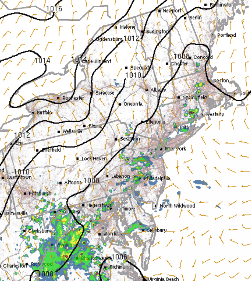
So the models continue with some sun and essentially dry conditions for this morning . Things change after 12PM today, as low pressure develops to our south and things become more unstable. Scattered thunderstorms can form almost any time after 12 PM today and the probability increases considerably during the late afternoon.
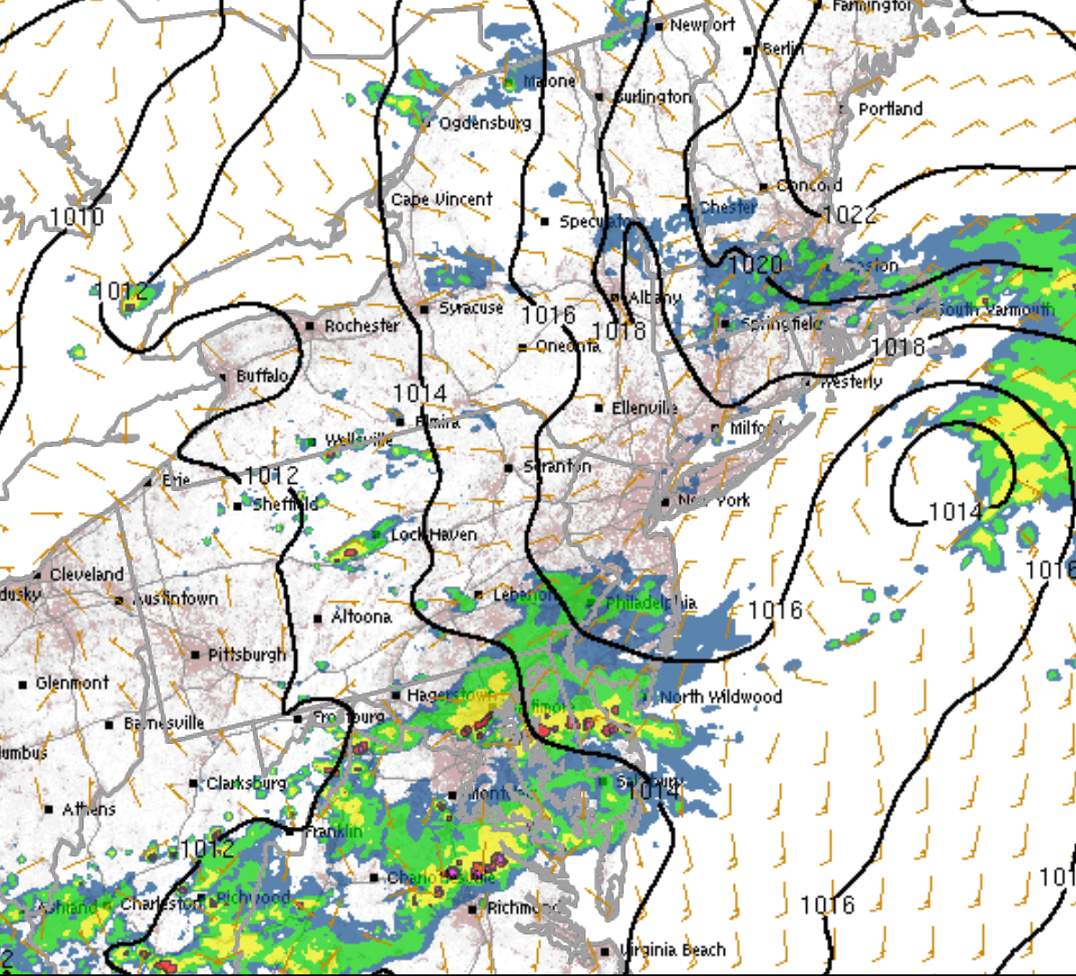
HRRR 4PM Saturday simulated radar forecast
Like last Saturday, these storms will not move in as a line, but will develop in place and be slow movers. Most areas will have had showers and thunderstorms by 6 pm, although the areal coverage won’t be large at any one time.
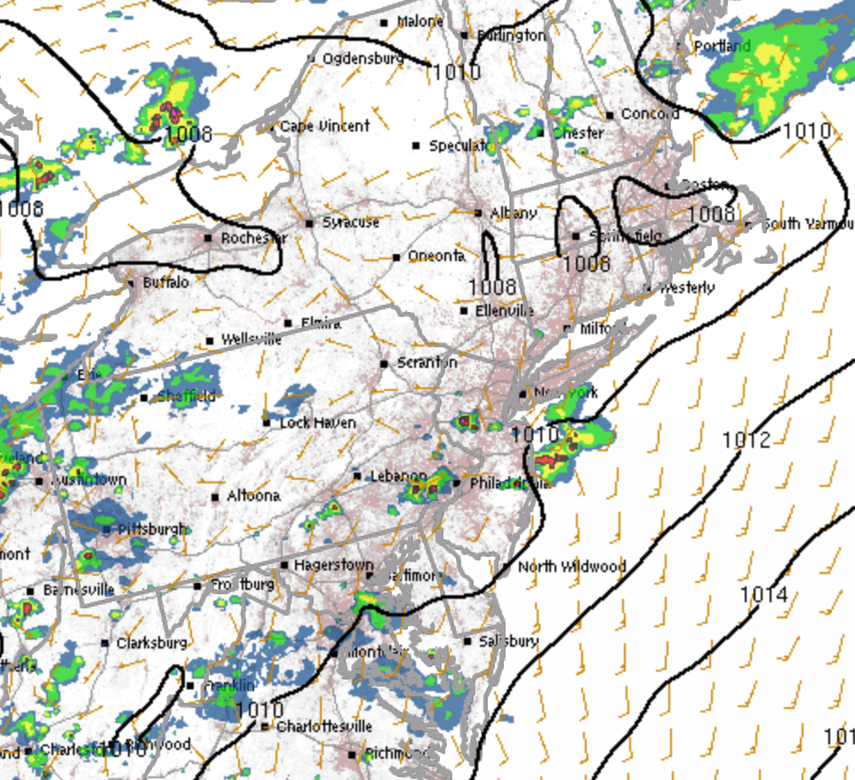
Some additional showers are expected to move in about 6 pm today. Things dry out late tonight.
HRRR Sunday forecast 6 pm
Monday starts cloudy, but expect sunshine by mid morning.Monday should turn out to be a nice day!High near 80.
[su_note note_color=”#d9f2da”]Sunday 8 PM Update -This afternoon’s NAM and GFS model runs maintain low clouds and even some light spits Monday morning, with just clouds in the afternoon. No sun[/su_note]
[su_note note_color=”#d9f2da”]Sunday 3 pm Update: Some additional showers are expected to move in about 6 pm today. Things dry out late tonight. Monday starts cloudy, but expect sunshine by mid morning. Monday should turn out to be a nice day! [/su_note]
Saturday:
Regarding thunderstorms today, the latest HRRR shows widely scattered thunderstorms between 5-6 PM in the Philadelphia area. The key words are widely scattered. This is not predicted to be the usual long line of thunderstorms. The statistical models are more impressive from a probability basis, but many areas may not see anything this afternoon.