Tonight’s NAM model data has yet another change in the forecast for Sunday. Mostly cloudy conditions forecast, but the latest NAM holds off most of the rain until late afternoon. The earlier NAM and GFS had heavy rain by mid afternoon Sunday. (Due to Daylight Saving Time, the new GFS won’t be available until after my bedtime.)
But the latest data we have suggests a Sunday that is drier than previously expected. Still moderate rain expected for Sunday night.
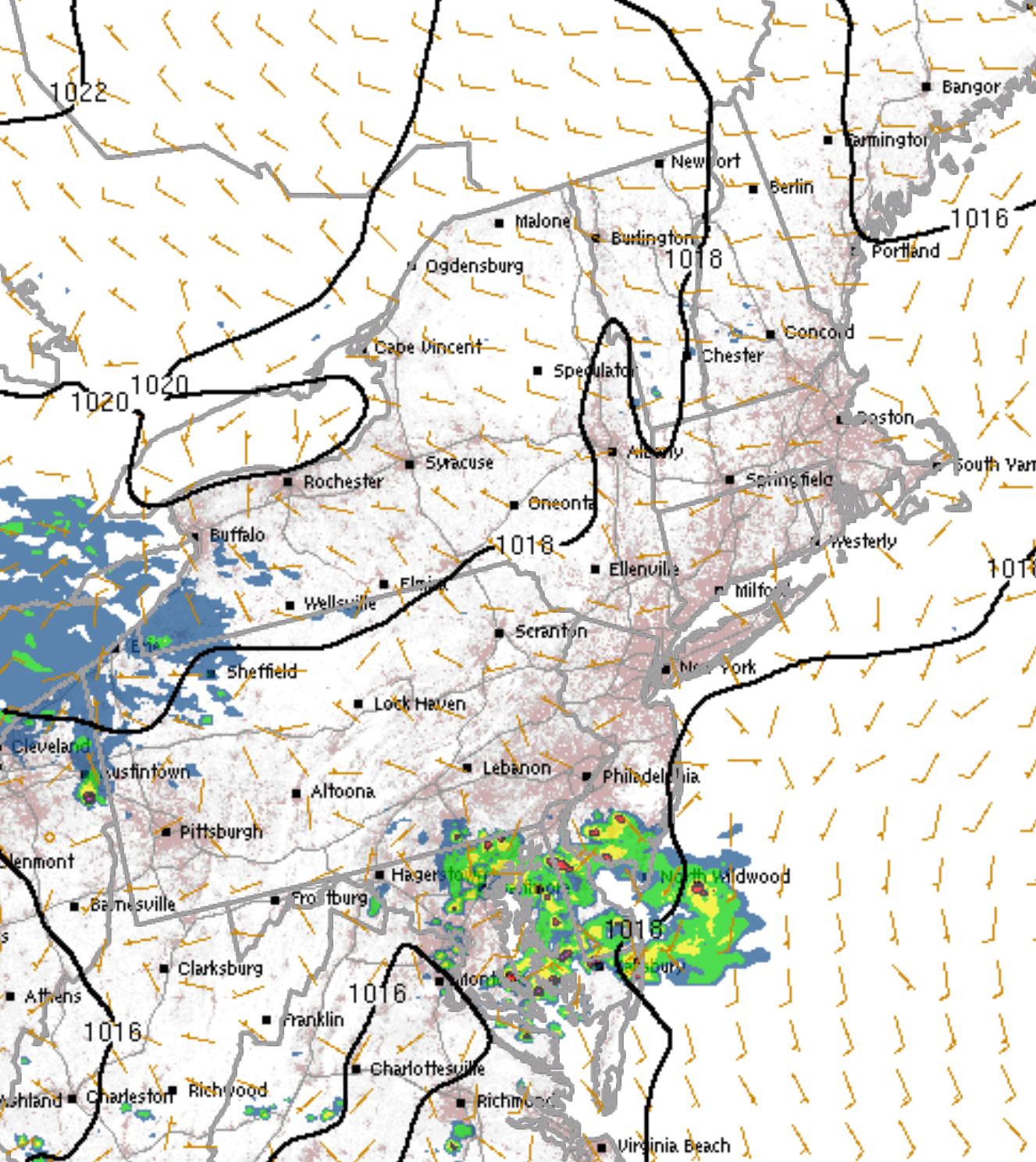
The latest HRRR forecast shows showers and thunderstorms moving along the frontal boundary and staying south of PHL.
HRRR simulated radar forecast for 5 PM Saturday
The latest NAM has rain for Sunday, starting late morning and continuing heavy through Sunday afternoon and evening. The latest GFS is similar, but shows less QPF for Philadelphia on Sunday afternoon.
With all the thunderstorms that have moved through Philadelphia this afternoon and evening, there are areas to the immediate northwest that have barely gotten anything.
Showers and thunderstorms should continue tonight, ending before daybreak.
Sunday should look similar.to today, with a mix of clouds and sun. Essentially dry for much of the day. An easterly wind will make things much cooler with a high of about 67.
Clouds increase late in the afternoon with showers developing late afternoon.