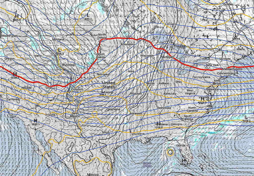
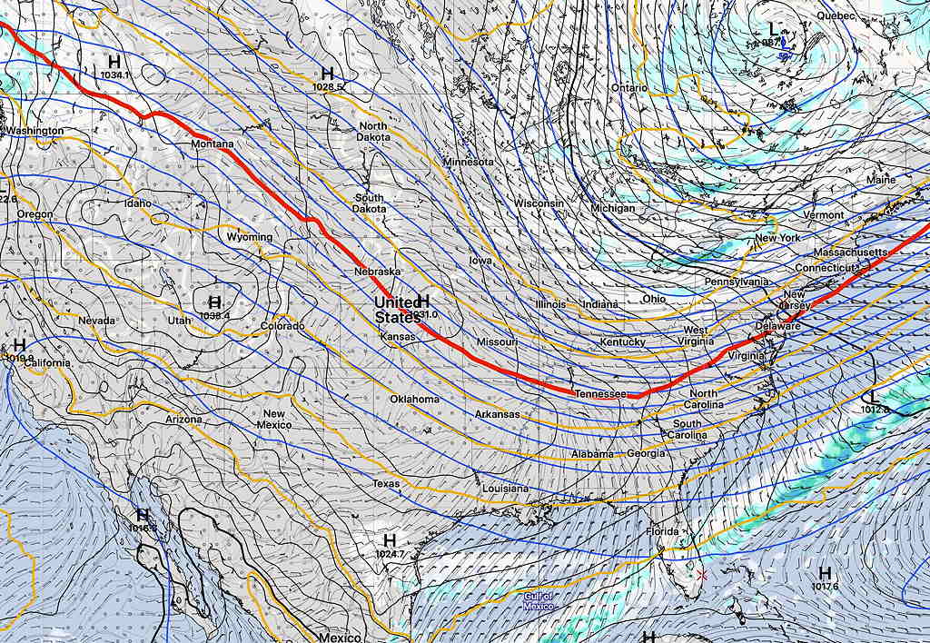
Following a very long period of warmer temperatures for November, this weekend will be a transitional time to a broad drop in the jet stream over the eastern half of the US for next week.
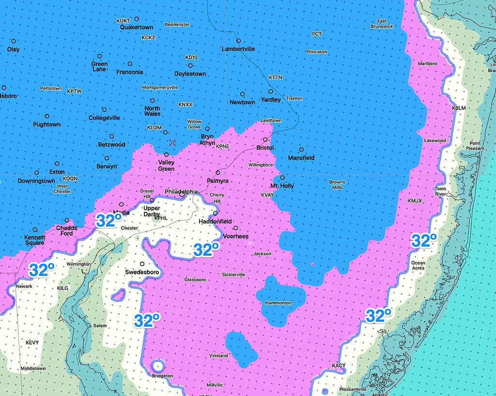
Saturday will feature a slight drop in the position of the jet and we’ll have cooler temperatures than we’ve had in the past week. Fair skies will prevail.
On Sunday, the upper air flow relaxes and a return of moisture and milder temperatures is expected with a warm front. Showers expected early Sunday.
A cold front later Sunday afternoon will bring additional showers and precede a more pronounced drop jet, with much colder air for Monday.
The timing of these fronts may change by the weekend. Stay tuned.
What’s interesting is an ongoing condition that I’m going to refer to as a relative “lack of very cold air” to our north. Of course, it’s still early November, but things just look a little bit warmer than usual to our north—
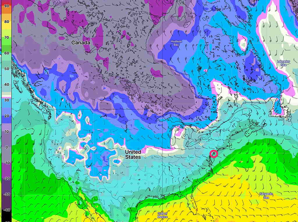
While we’ll get some chillier conditions next week, I don’t see a pronounced or extended period of cold weather for us right now.