The weather for New Years Eve will dry, as a weak cold front is expected to move through with showers early Thursday morning and things dry out for New Years Eve.
However a warm front associated with a low pressure system in the Midwest brings in rain New Years Day (Friday) to start out 2021.
The general pattern this week is for our area to be under the influence of an upper ridge pattern and a mild moist flow from the southwest ahead of this low pressure system moving up to the west of us through the Great Lakes on Friday—

After the rain moves out Friday night, Saturday should turn out dry and mild with high temps in the low to mid 50s. I should mention that average temps are 41 º high, 25º low ( Blue Bell) this time of year.
Yet another system moving in Sunday brings more rain as a coastal system tries to develop off the coast. The upper air pattern does NOT favor development of a nor’easter or any snow from this system.
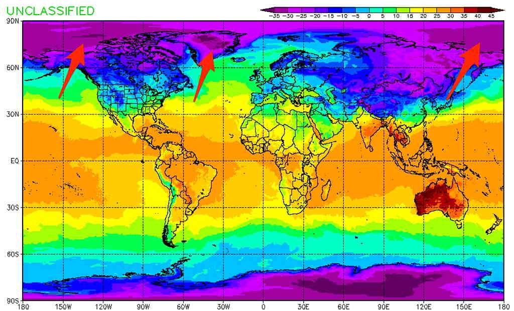
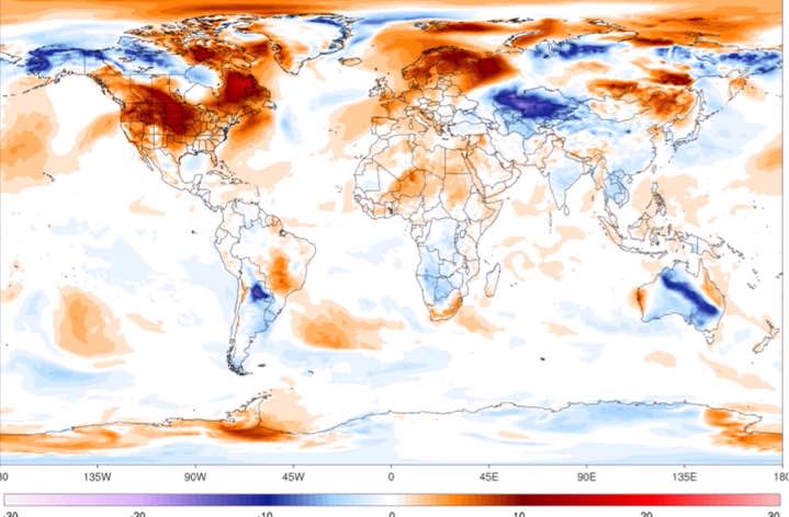
In fact, snow lovers right now will have to wait for a pattern change. As mentioned in several posts recently, my pattern assessment is “lack of very cold air” to our north.