Just when we thought we were heading into the hot and humid dog days of summer, the GFS model is suggesting the development of upper air troughs for both the end of the week and again early next week. Preceding the troughs, wet weather and instability thunderstorms are likely, followed by cooler weather.
Unusual for July, the usual hot Bermuda high pressure system will be pushed eastward. So expect an end to the heat wave by Thursday.
High pressure builds in behind departing hurricane Arthur, and a classic summertime Bermuda high sets up to bring typical July heat and increasing humidity by Monday. But this weekend in Philadelphia will be another spectacular one, weather-wise.
Sat 7/5: Sunny and warm. Low humidity. High 86
Sun 7/6: Sunny and warm. Continued pleasant. High 87
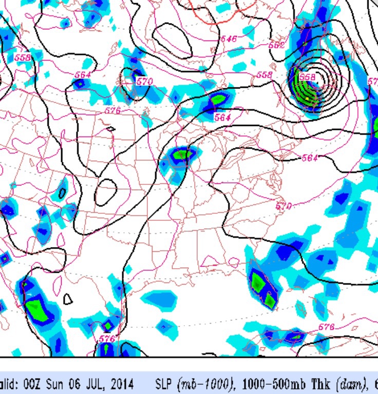
An active weather period through early Friday as a front slowly pushes through our area over the next few days. Adding to the weather mix will be tropical storm Arthur, which may intensify to hurricane strength. Regarding Arthur, all models track this storm well to the east of the Jersey shore. The nearby path of the storm may enhance the amount of water vapor available to fall as rain.
Beautiful weather returns for late Friday and lasts through the weekend.