A large elongated area of high pressure will center itself over our region for the weekend giving us sunny skies and warm temperatures with low dew points.
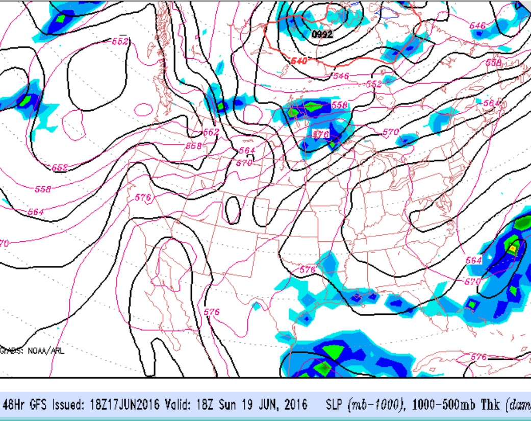
GFS forecast for Sunday afternoon.
Fair skies both days . Saturday high temperature 83 and Sunday high temperature 88 . Dew points remain in the comfortable 50s until Sunday evening. Enjoy!
An intensifying low pressure system in eastern Canada will bring a frontal boundary through our area Saturday afternoon.
Conflicting instability indexes and lift indexes do not give a good handle on the chance of showers or thunderstorms for Saturday afternoon. Considerable cloudiness expected. The NAM cranks out showers/thunderstorms , mostly late afternoon. The GFS consistently has had the precipitation “jump” past the PHL area; The GFS MOS still shows a moderate chance of thunderstorms between 4-7PM. High temperatures are forecast to be near 88, but I think that may be too high.
I will use the HRRR model Saturday morning to get a better handle on the chances for thunderstorms. Check back for an update.
For Sunday, a pool of unseasonably cold air aloft and an upper cyclonic flow will like result in sunshine leading to instability cloudiness and even a chance of pop-up showers, even though the models keep us dry at this time. Windy. Again, the models are forecasting a high of 85, but I think that is too high.
The models seem to be consistent and in fairly good agreement with this weekend’s weather forecast.
Saturday will have a damp, humid, southerly flow maintaining mostly cloudy skies, with some brightening and maybe some sun midday. Clouds return in the afternoon and there’s a chance of showers moving in from the west by 4-6 pm. High 80.
Rain develops Saturday night and continues through Sunday. There may be a lull in the rain during the morning but heavy rain and possible thunderstorms developing Sunday afternoon ahead of a cold front. High 79