The system that brough last night’s rains to Philadelphia has departed, but weak high pressure building in will only slowly reduce the humidity through Friday.
GFS Surface Map Prediction for Saturday
For this weekend’s weather, somewhat stronger high pressure will take hold over the weekend, giving us less humidity, but as you can see from the forecast surface weather map, areas of showers won’t be that far from our south and west over the weekend. So partly cloudy/partly sunny skies are expected at this time with no rain.
A classic Bermuda high pressure system will finally establish itself this coming weekend, giving us seasonably warm (comparatively hot) weather for both Saturday and Sunday. Dry conditions also expected. High temperatures expected in the upper 80s.
However, before this system takes over for the weekend, a front and developing low pressure system will move through late Wednesday into Thursday.
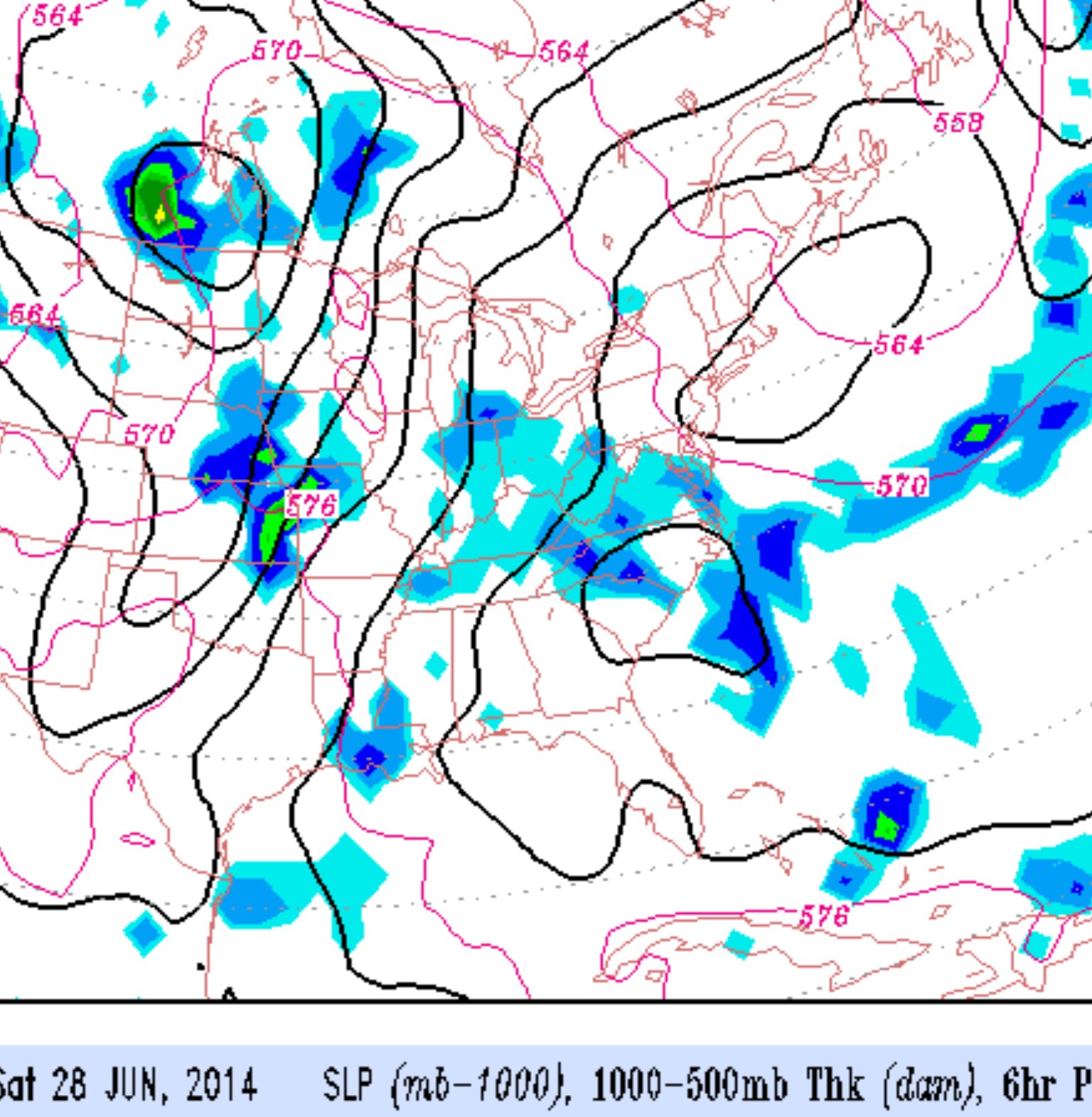
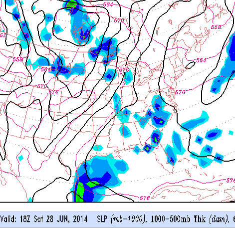
I was out early today and noticed the cumulus was really building in some spots. Some dark clouds and a quick look at the radar- sure enough, there were some scattered showers. Apparently there was enough low level wind convergence to cause this.
The models really blew this forecast- Just when you think the computer models are incredible, you get this sort of poor forecast.