#Philadelphia #weather #PAwx #PhillyWx
Tuesday Update
Posted Monday 08/04/25 @ 8:12 PM — Tuesday will likely have the most significant smoke at ground level that we’ve seen recently. On top of an increasing cloud cover, especially from the city southward, sunlight will appear dimmed.
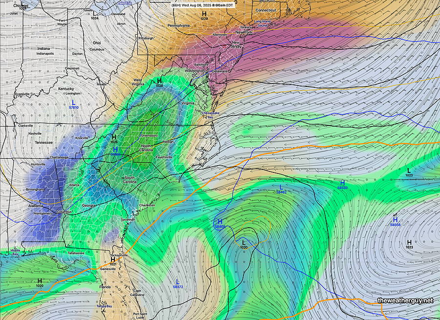
It appears that any rain from the southeastern coastal system will be suppressed to just south of the city late Wednesday into Thursday. Cape May county will likely see some showers.
A diffuse area of unsettled weather off the southeastern US coast later in the week still not showing much sign of organization. The ECMWF was the most on-board for tropical like development, but the AI models keep the system disorganized.
Humidity remains relatively low through the end of the week moving just into the low 60s. That may change with any tropical development.
Monday Update
Posted Monday 08/04/25 @ 8:37 AM — The wildfire haze will likely decrease a bit over the daytime hours Monday, according to the HRRR-Smoke model.
As for the uncertainty regarding the storm and moisture along the southeastern US coast, the GFS-AI, ECMWF-AI and the Canadian GDPS with “AI Spectral Nudging” have high pressure suppressing the rain just to our south Thursday and Friday. No longer is there a distinct sign of tropical storm formation.
However, a fair amount of cloudiness is expected Tuesday and Wednesday due to moisture moving up aloft.
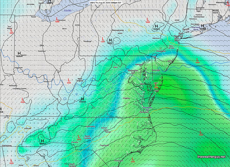
The GFS-AI maintains the furthest northern extent of the showers on Thursday; it’s likely too far northward—
Originally Posted Sun 8:31 PM —Except for the smoke plume that may be with us at daybreak, Monday promises to be another very nice day with low dew points.
The forecast for the balance of the week is more uncertain than you might believe from the broadcast weather people.
There remains significant questions about a large disturbance along the southeastern US. Some of the moisture may move in as clouds as early as Tuesday afternoon.
There is even some question of potential tropical storm development in the same general area. The RRFS, German ICON and ECMWF-AI have some of the moisture moving up along the coast late Wednesday into Thursday. The period beyond Thursday is even more uncertain.
Here’s the latest ECMWF-AI model forecast for Wednesday morning, showing clouds and rain trying to move northward, but somewhat blocked by high pressure. How far that advances is still ‘up in the air’.