
#Phillywx #Philadelphia #weather
Update Sat 09/30 @ 9:33 AM — The previous post may have been too optimistic about clearing. This morning’s latest HRRR (12z) shows considerable moisture pushing back into the area, maintaining the cloud cover.
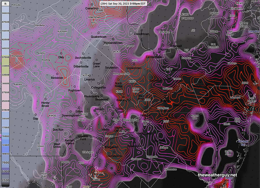
Update Sat 9/30 9:08 AM — Little in the way of additional showers today in the immediate PHL area and west today. Last night’s models have some peeks of sun about 1 PM areas west of the Delaware River, but cloudiness may soon redevelop in the same areas. Any clearing this afternoon will be gradual with stops and starts, with the clearing process happening from northwest to southeast.
Previously Posted Fri 5:41 PM —
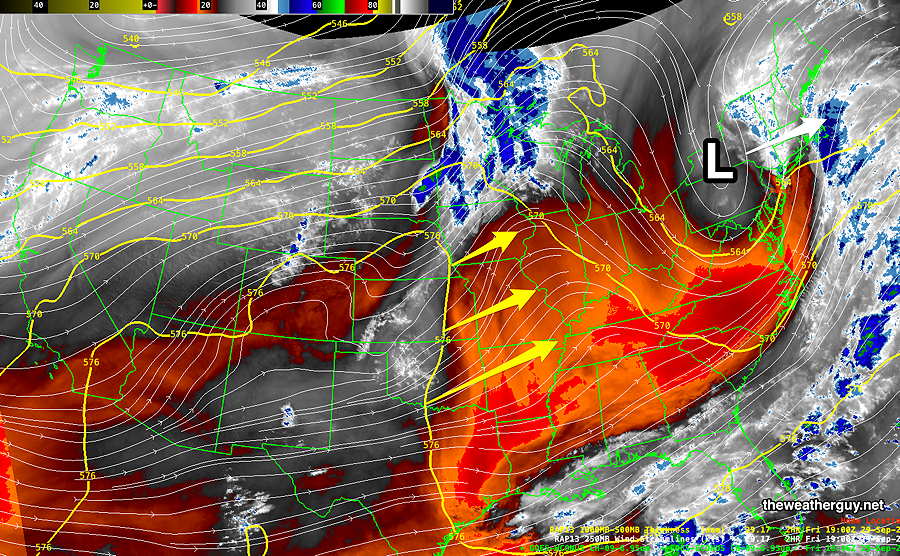
The coastal low combined with an mid and upper level low in Pennsylvania is bringing heavy rain to eastern NJ and NY.
The coastal low will depart Friday night, but the mid level low over Pennsylvania will wrap back some clouds and showers on Saturday morning. Clouds linger into the the afternoon, with skies gradually clearing between 3 and 5 PM from the northwest. (There are a few models that maintain the cloudiness until after sunset.)
High pressure builds in on Sunday to begin a week where a building upper level ridge will bring warm temperatures to our region—
Saturday
Cloudy with lingering widely scattered showers in the morning. Very gradual clearing in the afternoon. We may see some bright spots by 3 PM but blue skies/sunshine may not be in the cards. Somewhat windy from the NNE.
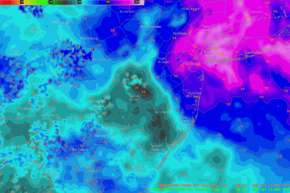
My pessimism about clearing is based on the NBM model, which still shows plenty of low clouds and low ceilings at 3 PM—
High temperature 68.4º ( NBM model— location Blue Bell, PA)
High temperature 69.3º ( NBM model— location Philadelphia, PA) (Temperatures ± 2.4º)
Sunday
Sunny and much milder.
High temperature 76.4º ( NBM model— location Blue Bell, PA)
High temperature 77.1º ( NBM model— location Philadelphia, PA)
(Temperatures ± 0.9º)