#Philadelphia #weather #PAwx #PhillyWx
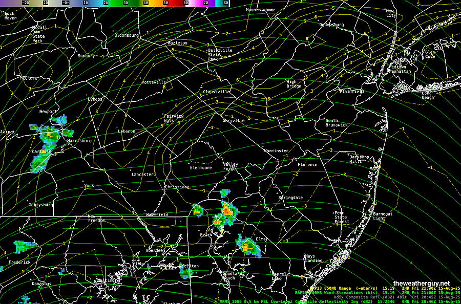
Some storms have fired up to our south and west Friday afternoon—
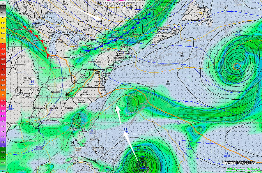
A weak, slowly approaching cold front will bring the chance of widely scattered thundershowers Saturday and Sunday afternoons. Exact placement and timing still to be determined but mostly far west and north of the city.
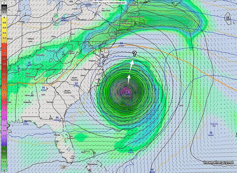
The latest ECMWF-AI model forecast for Hurricane Erin takes it still closer to the coastline of NC late Wednesday. This AI model did very well with last year’s hurricane predictions. It’s been back and forth regarding the track of Erin. Here’s the latest—
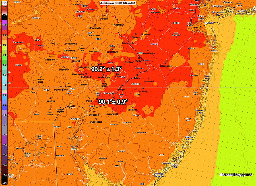
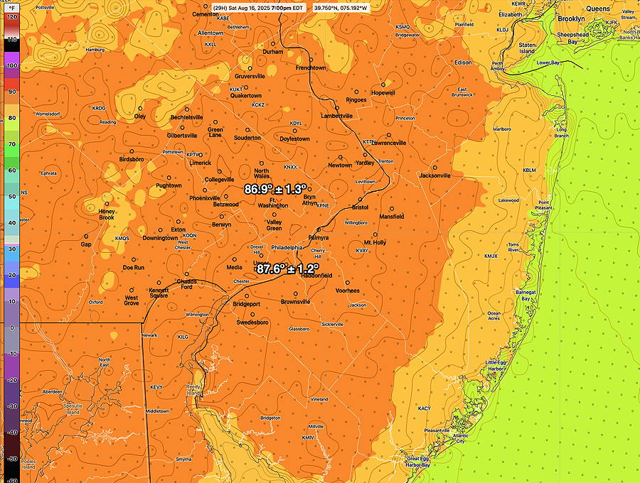
Typical August temperatures and humidity for this weekend.m Afternoon scattered to isolated storms mostly north and west of the immediate PHL area.
Saturday
Partly to mostly sunny. Chance of a widely scattered thunderstorm mainly west of our area. Heat index 91 for PHL
Sunday
Partly sunny. Chance of a widely scattered thunderstorm mainly west of our area late afternoon. Heat Index 96º Philadelphia.