
#Philadelphia #weather #PAwx
Update 03/23/25 @ 8:42 AM — Sunny skies this morning will begin to very slowly fade as high cirrus clouds move in about noon. It likely won’t be truly ‘cloudy’ until after 5 PM.
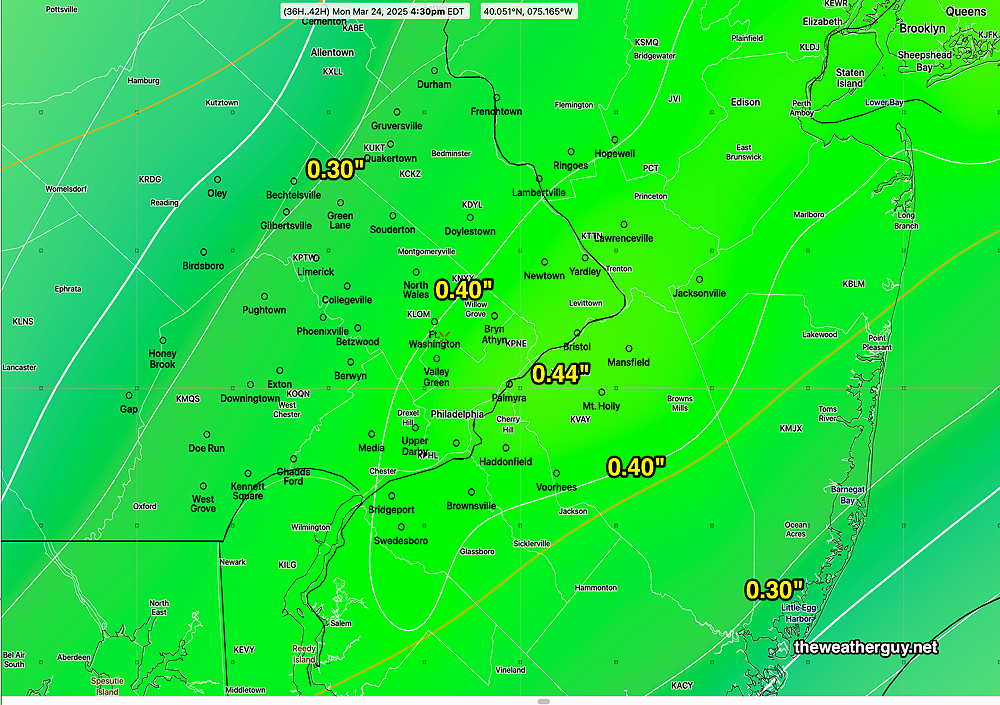
Rain moves in before daybreak Monday and continues through about 4 PM, with some widely scattered showers afterwards. Total rainfall ranges from 0.32″ to 0.70″ in the models. Here’s the ECMWF-AI-Single total rainfall forecast—
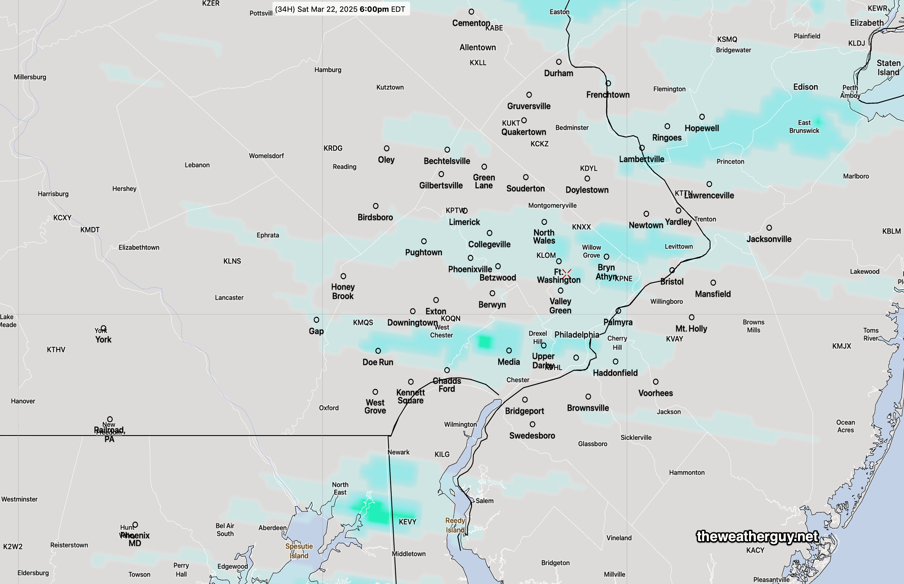
Update Sat 3/22 7:38 AM — The higher resolution models have any light showers moving through between 4:30 PM and 7 PM this evening. The lower resolution models keep any showers to our north. That includes the AI models.
Originally Posted Fri 5:01 PM —A reinforcing cold front will pass through about 2-5 PM Saturday afternoon. There will be a chance of light, scattered sprinkles/showers during the mid to later afternoon after the cold front passage.
Another approaching system for Monday will bring some cloudiness late Sunday with rain likely Monday.
Saturday Forecast
Cloudy early, then a varying degree of cloudiness with some sun through much of the afternoon. The front comes through mid to late afternoon with light sprinkles/showers. Increasingly windy and gusty in the afternoon. Temperatures drop below freezing Saturday night into Sunday morning.
NBM high temperatures: Blue Bell, PA 60º Philadelphia, PA 62º
Above average uncertainty (based on standard deviation): ±2.2º
Sunday Forecast
Sunny and cold in the morning, then sunshine through slowly thickening high clouds in the afternoon. Windy in the morning, diminishing during the afternoon.
NBM high temperatures: Blue Bell, PA 49º Philadelphia, PA 51º
Low Uncertainty (based on standard deviation): ± 1.7º