
#Philadelphia #weather #PAwx
Posted Sunday 07/07/24 @ 10:02 AM — I’m glad the past two day’s forecasts have been essentially unchanged and on autopilot, as I’ve been focusing my attention on fixing and fine-tuning some model download issues.
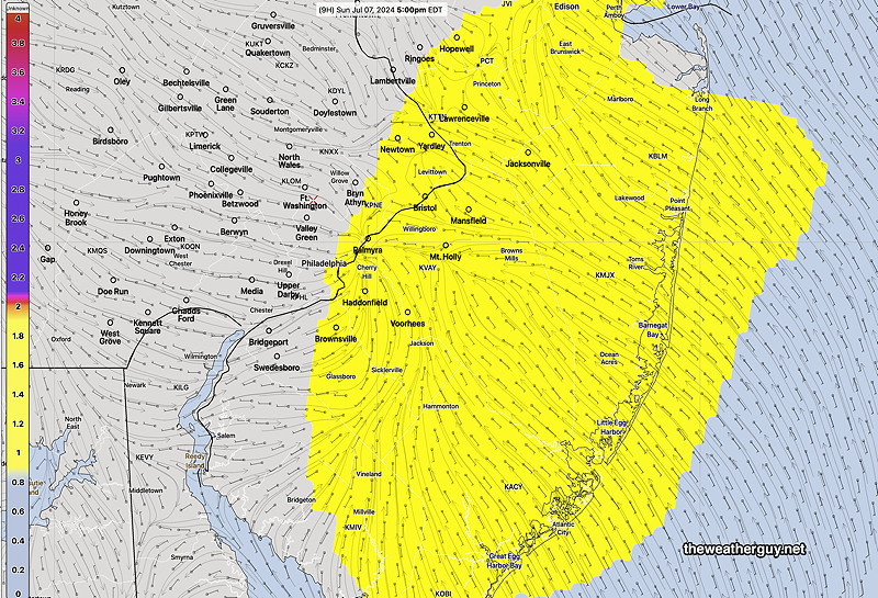
Today’s (Sunday) weather will be continued hot, in the mid 90s. A sea breeze moisture convergence zone will set up as its done the past two days. Some isolated storms may develop, as was the case yesterday, east of us (NJ) during the late afternoon.
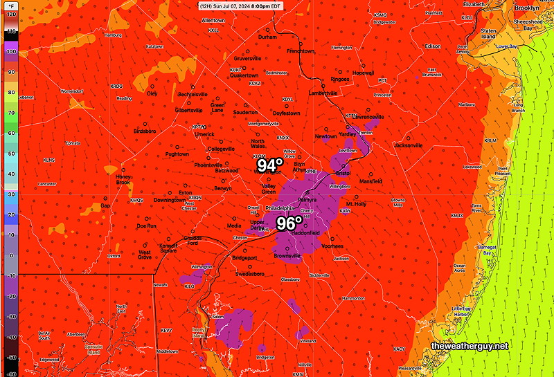
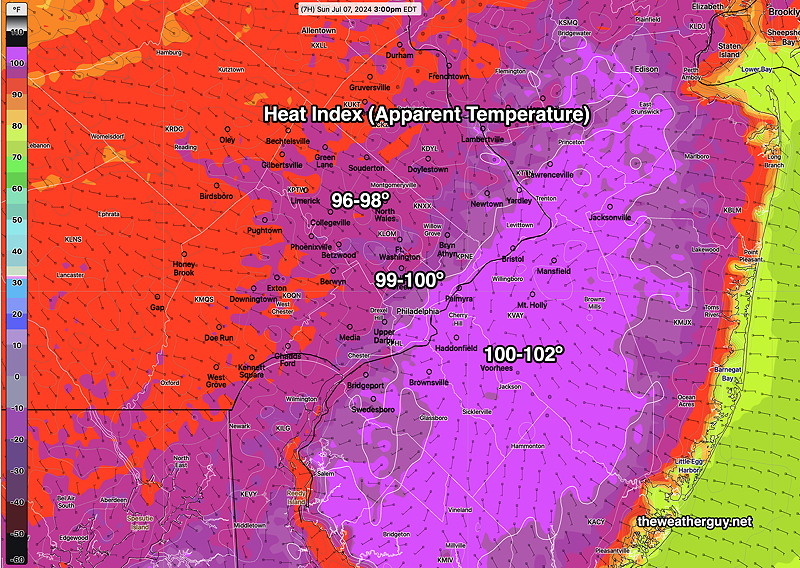
Temperatures will reach the mid and upper 90s
90º+ temperatures are forecast this entire week. Things get interesting Wednesday into Saturday as moisture from Beryl moves northeastward and a stalled front may focus some much-needed rainfall here.
Previously Posted Fri 5:02 PM —A hot humid flow will remain over us through tonight and through Saturday evening.
Scattered showers and pop up thunderstorms will remain mostly north and west, although some models show some activity with a sea breeze line that sets up in NJ Friday evening.
A cold front will move through Saturday late evening with a line of showers and thunderstorms. The front slows down and additional showers may develop during the nighttime hours. Slow clearing.
Just as I was going to post this, the afternoon models are becoming available. These models have eliminated most of the showers Saturday evening. So we may have a dry frontal passage.
The air on Sunday will be less humid and only slightly less hot.
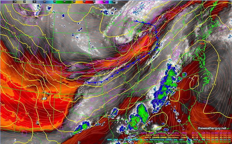
The edge of the drier air is visible on satellite water vapor imagery—
Saturday
Sunny and continued hot and humid. High cirrus clouds and some periods of thicker clouds. Scattered showers and thunderstorms as early as 4-6 PM, but the most organized activity about 8-11 PM. As mentioned above, the afternoon models seem to have eliminated the showers from the forecast. A significant forecast change if true.
NBM high temperatures: Blue Bell, PA 93º Philadelphia, PA 95º
uncertainty (based on standard deviation): ± 2º
Sunday
The front slows down. Partly cloudy, partly sunny. Decreasing humidity.
NBM high temperatures: Blue Bell, PA 92º Philadelphia, PA 93º
uncertainty (based on standard deviation): ± 2.5º