#Philadelphia #weather #PAwx
Rex Blocking Pattern for through Wednesday
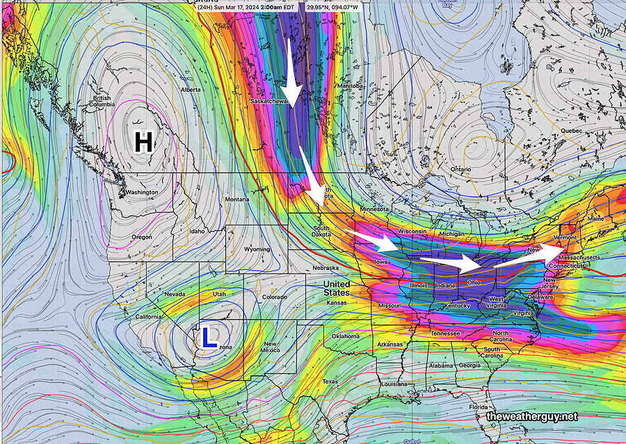
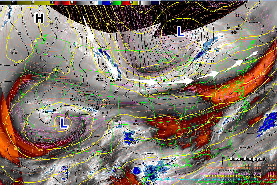
Posted Saturday 03/16/24 @ 9:44 AM — An upper air stable pattern, called a Rex Block (named after the meteorologist Daniel Rex, who identified this pattern) will keep a colder flow over our area through Wednesday.

Here’s the current satellite water vapor image showing the developing Rex Block —

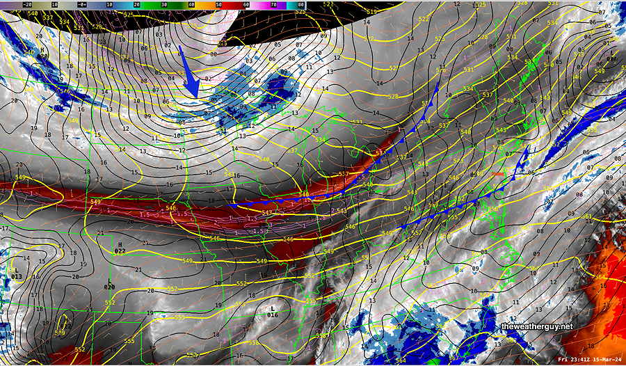
Originally Posted Fri 7:04 PM — A cold front with its dynamics and showers to our south will sink further to our south Friday night.
Another cold front is waiting in the wings for Sunday morning Here’s the current water vapor satellite image —

High pressure will build in for Saturday. With the NBM recently running too cold, I’ll give the HRDPS a chance in the temperature forecast.
Saturday
Mostly Sunny.
HRDPS high temperatures: Blue Bell, PA 63ºº Philadelphia, PA 65º
The second cold front moves through Sunday morning.
Sunday
Several periods of cloudiness in the morning with the second front, becoming partly sunny in the afternoon. Increasingly WINDY and gusty. Temperatures decreasing in the mid afternoon.
HRDPS high temperatures: Blue Bell, PA 60º Philadelphia, PA 62º
The current trend is for colder temperatures next week through Wednesday. A generally dry period with no storms expected.
