
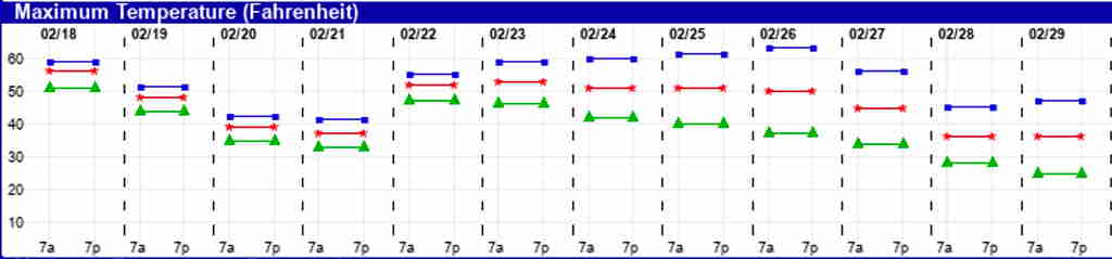
The weather pattern this winter and specifically this February, has been unusual to say the least. Apart from the roller-coaster temperature swings and the over-all mild weather temperatures, the ‘predictability’ of the weather systems this season has been above average.
Indeed, the ‘spread’ of the probability-based ensemble models seems to have been below average in recent weeks indicating higher confidence and lower expected variations in the longer term forecasts.
This is something I haven’t seen much. Put another way, in past winters, I would check the GFS in the morning and again later in the day and the model forecast had a fairly high chance of having changed in the interim, often dramatically. Not so in the past few weeks.
For the most part, the remaining two weeks of February look to be similar to recent weeks— Rain, followed by a couple of days of cold weather. then a return to over average temps and more rain as another front moves in.
A cold front moves through tonight (Tuesday) with light rain and cold air and high pressure build in for a two or three day period of cold temps. Temps moderate by Sunday.
As discussed last week there just haven’t been large/dense cold air masses to sink straight south into the continental US, nor have there been similar masses to set up in the North Atlantic, giving us a ‘blocked’ pattern.
The current pattern looks to continue until near the end of February. No snow expected.
There have been signs that a pattern change is possibly occurring the very end of February or the first week of March. The EKDMOS temp stats show very large “spreads” developing in the long range.
While there are always larger spreads in the longer range, the latest GFS extended range model forecast is suggesting something is changing. We’ll see.