#Philadelphia #weather #PAwx
Back to the weather! There hasn’t been much happening weather-wise around here. Beautiful and warmer weather has returned.
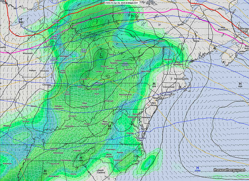
While rain is forecast for late Friday into Saturday, a pattern for the heaviest rain to move off to our northwest seems to be recurring. It’s really too soon to declare a hot, very dry, late Spring and Summer, but the current trend is moving in that direction and is disturbing.
Continued mild weather for the rest of the week. Showers move in late Friday afternoon or early evening with the system moving off to the northwest.
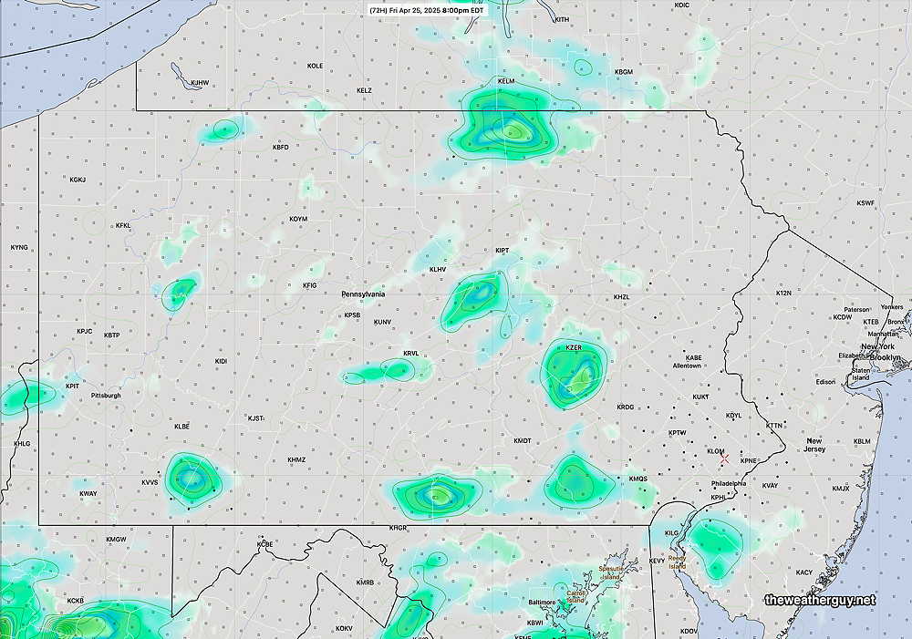
The AI models (at least those they release to the public) are low resolution in both spatial (0.25º resolution or about 21 km at this latitude ) and temporally (every 6 hours.) As a result, rain coverage on a weather map will look more impressive than what actually occurs.
Here’s the experimental RRFS-A forecast which has an hourly forecast and a 3 km spatial resolution. It’s forecast shows the much lighter rainfall—