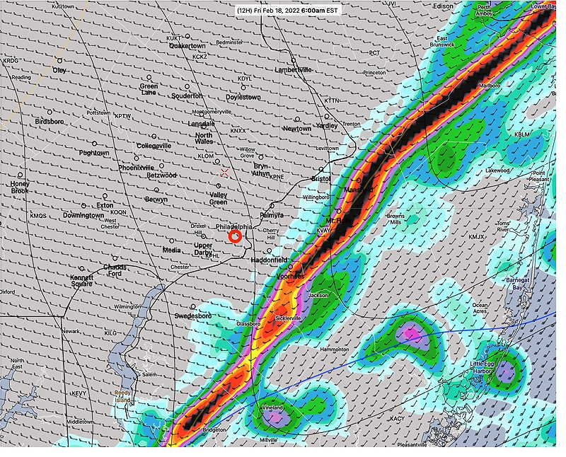
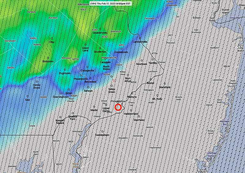
Update Thu @ 9:54 PM — Tonight’s models continue to forecast the front moving through between 5-6 AM with a narrow line of thunderstorms. High wind gusts after midnight still forecast.
Of interest— a secondary cold front moves through early afternoon Saturday. Several models are showing a line of snow squalls about 12 noon to 2 PM Saturday. A dusting accumulation possible but not likely.
Show More
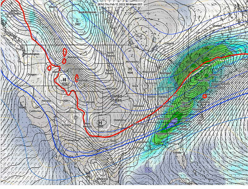
Update Thu @ 7:31 PM — The latest HRRR model forecasts a narrow line of thunderstorms moving through between 5 AM and 6 AM Friday morning. The HRRR continues to predict wind gusts over 50 mph after midnight. Update Thu @ 9:27 AM — The latest model trend is for the rain to arrive later in the evening Thursday and for the front to move through about 5 AM Friday. Looking ahead to the weekend, colder, windy weather on Saturday with some cloudiness mid-day and chance of some snow flurries. My Weekend Weather Forecast late Friday afternoon. Update Wed @ 10:58 PM — Rain starts early evening Thursday. About 0.6 inches of rain, according to tonight’s NBM. The big issue here will be the high wind gusts around and after midnight. Gusts approaching 55-60mph. Rain tapers and ends Friday morning. Update Tue @ 11:38 AM — Temperatures on Thursday will be over 60º in much of our area. The NBM has 62º ± 2º for Philadelphia and 59.3º ± 2.3º for Blue Bell. Clouds will be a factor; with a thinner cloud deck, we’ll be even warmer. The storm late Thursday and Thursday night will head to our north. The heavy rain previously forecast will go to our far north and the rain in our area will be nothing special (~ 0.5 inches) What will be “interesting” will be the winds and wind gusts. The GFS has been forecasting gusts approaching 60mph after midnight Thursday into Friday morning. Saturday is looking windy, chilly with some cloudiness as a weak front moves through. Sunday milder. Monday mild with high clouds. Previously Posted Mon 5:19 PM — The extended range models are suggesting a changing weather pattern over the next two weeks with a big warm up this Thursday, rain late Thursday into Friday, followed by colder weather again for coming weekend. The week following looks to be milder again. The “interesting weather” this week will be the deep low pressure system expected to move up through the Great Lakes Thursday into Friday. We’ll be on the warm, eastern side of this storm. Thursday looks to be in the 60s, but it will be increasingly cloudy and very WINDY. Heavy rain Thursday evening and night into Friday. Windy after the storm departs. The weekend looks dry and colder.


