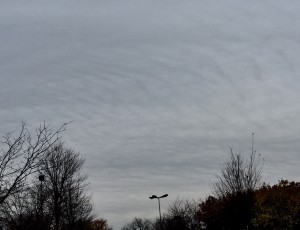
The cold front is moving through this evening and the expected precipitation has turned to snow a bit earlier than expected.
An anomalous amplified upper air configuration will allow unseasonably cold air to infiltrate into our area Friday and Saturday.
Some moderation in temperatures will occur on Sunday and Monday ahead of another even colder air mass that will affect us next Tuesday and Wednesday. Preceding this polar front moving through Monday evening will be an some cold rain that may also change to snow before ending late Monday night.
Saturday will be sunny and cold with highs near 44.
Sunday wIll have increasing cloudiness with highs near 47
