It’s time to make my annual fall forecast.
I always start my climate forecasts with a reiteration that climate prediction is very different than weather forecasting despite the appearance that they are similar. It’s an inexact science.
That said, there is an overwhelming allure among professional and amateur forecasters to attempt to predict trends in weather based on current weather patterns. So here goes.
It appears that we are experiencing a pattern change from the cold and wet pattern we had over the past year. We have just passed the second peak of the current solar cycle. This would signal a warm period for us, but the recent solar cycle expectedly peaked at a low level.
Nonetheless, we are beginning to see a pattern reminiscent of our last solar peak– increasingly dry conditions in the NE and milder temperatures. An increasing El Niño complicates the tendency towards much drier weather, but the current pattern suggests the solar influences will trump the El Niño influences.
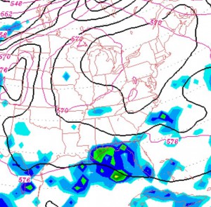
So my climate forecast for this fall and early winter is for drier conditions and warmer milder temperatures. It doesn’t mean we’ll not see rain or snow or cold periods, but expect temperatures above average and almost drought conditions here in the NE.

