
The latest GFS and NAM models show a low pressure system moving up the coast Wednesday with heavy rain mixing with and changing to snow before ending Wednesday evening. Accumulations look to be light in PHL, but bad timing for any holiday travel. Stay tuned.
Philly Weekend Weather Forecast
The latest GFS model shows a slight moderating trend over the weekend with temperatures into the low 40s on Saturday and into the low 50s on Sunday. This is still below seasonal averages.
As the amplified jet pattern relaxes over us and the cold high pressure moves east, a return flow of warmer air moves in with a warm frontal patter later Sunday into Monday.
Saturday will be mostly sunny with a few clouds in the afternoon. High 44.
Sunday will start with some sun but will have thickening clouds. Milder with highs in the low 50s. Some rain begins during the evening as the warm front moves through.
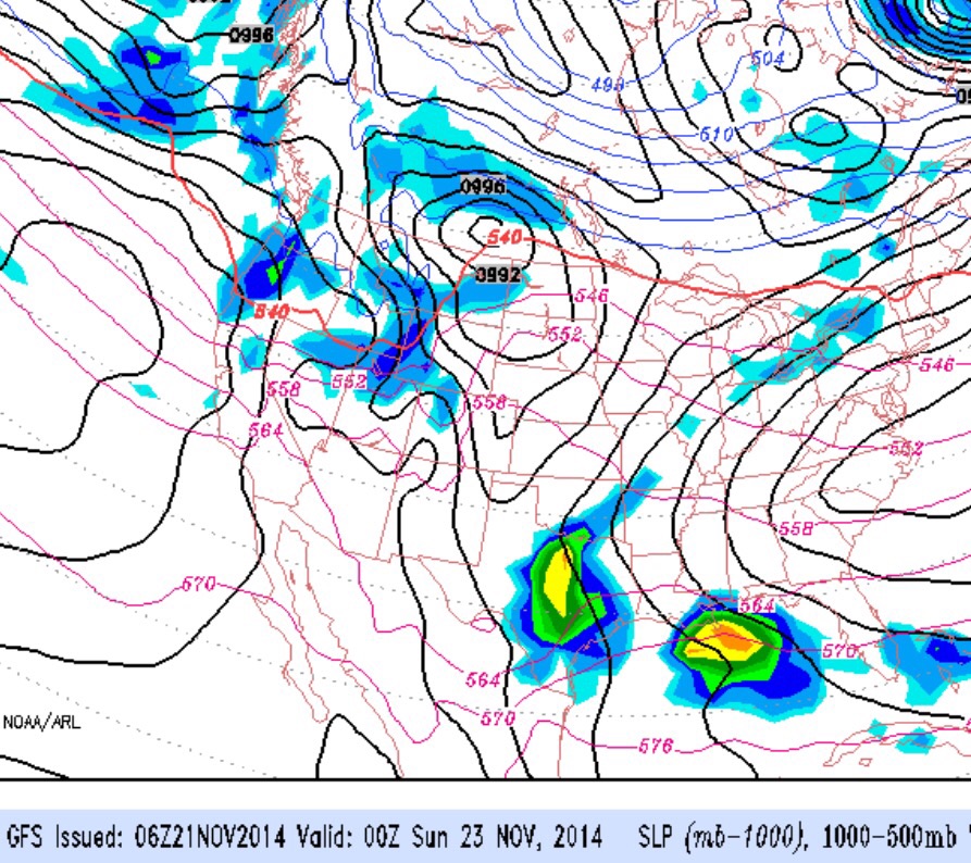
Outlook for next week: Rain Monday morning….then mild and windy. Windy and mild for Tuesday and Wednesday. Another big chill-down is expected for Thanksgiving weekend.
Philly Weather Outlook
Heavy rain expected tomorrow (Monday) with the cold front moving through Monday evening.
This front will be a polar front and high temperatures will be only in the low 30s Tuesday and Wednesday.
Once we get past this week, a more moderate air mass will be with us next week and over Thanksgiving.