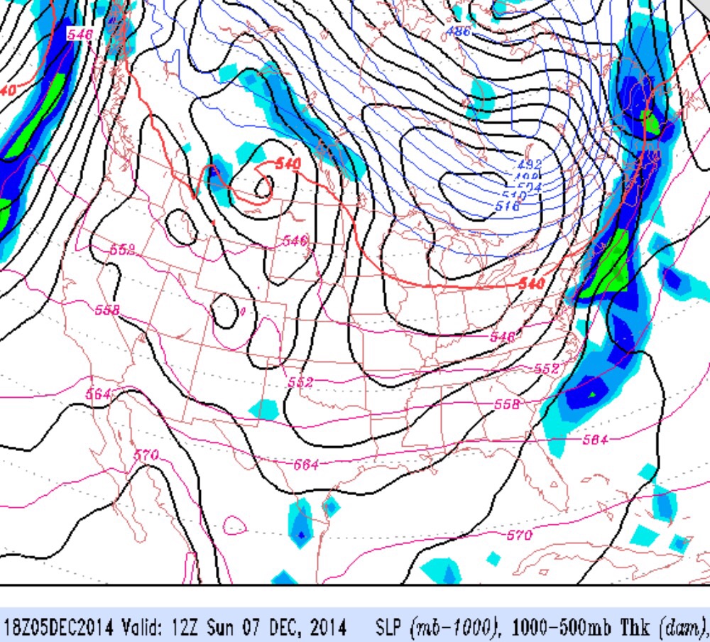
An area of low pressure will move across our area tonight and Saturday, before a front passes through before daybreak on Sunday.
Saturday will be cloudy and dismal. There may be a break in the rain early Saturday morning but heavier rain will return by early afternoon on Saturday into the evening. Winds will be from the south and it will be relatively mild. High around 50.
A cold front will move through before daybreak on Sunday. Sunday will have plenty of sunshine, but it will be windy and cold. High 44
This weekend, we are entering into a period where the weather models are showing big differences in the forecast from run to run and between different models.
The upcoming weekend looks to be cloudy and wet, particularly on Saturday, but there’s a chance of a coastal storm developing anywhere in the time period from Sunday through early Tuesday.
It appears that it will be too warm here for snow. But while wet is much more likely than white, there’s even uncertainty about how amplified the jet stream may become and how much cold air will be present.
One thing that is becoming clearer….there is a change in pattern from last year’s highly amplified jet and oppressive cold weather, with extreme dry weather in the west.
This pattern reminds me of the last solar cycle peak in 2001 where we had very warm periods in January and February and more rain than snow.