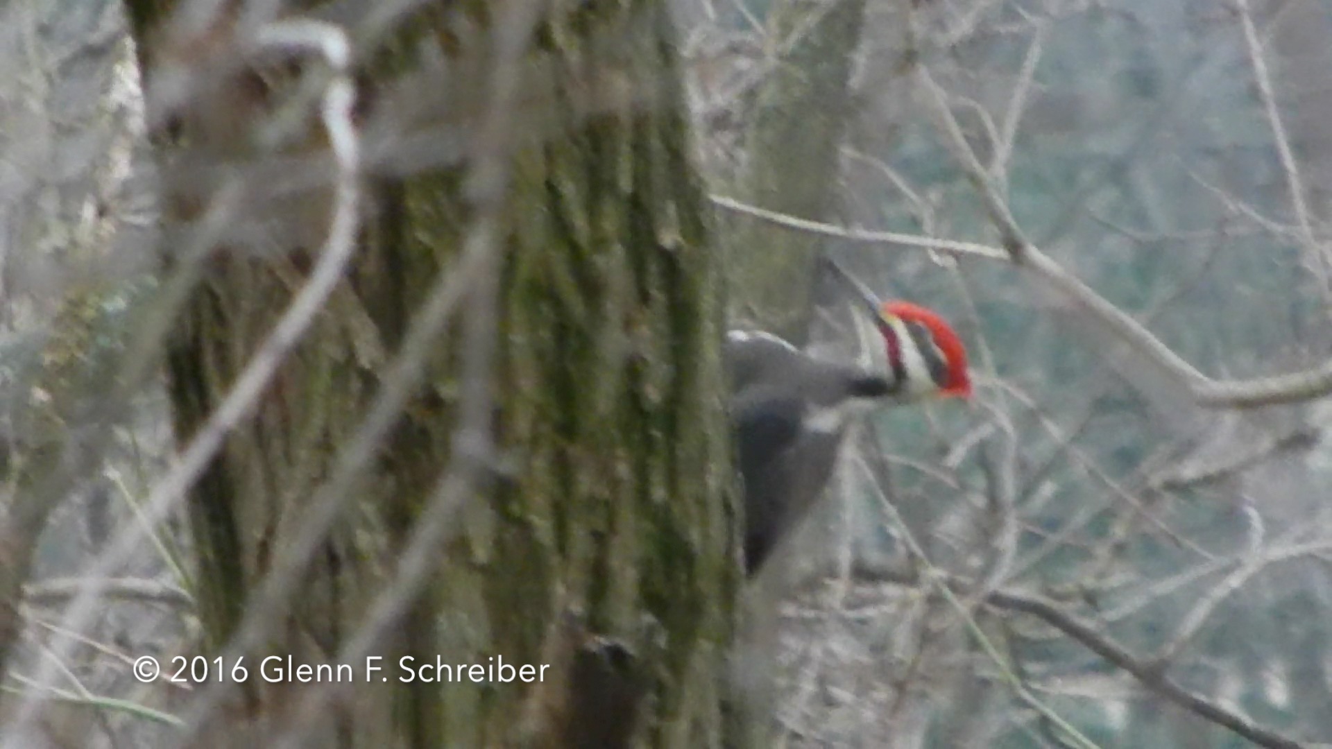
I’ve wanted to see this bird for years! A true beauty, must have inspired the character Woody Woodpecker. There were a pair, a male and female. The above is a male.
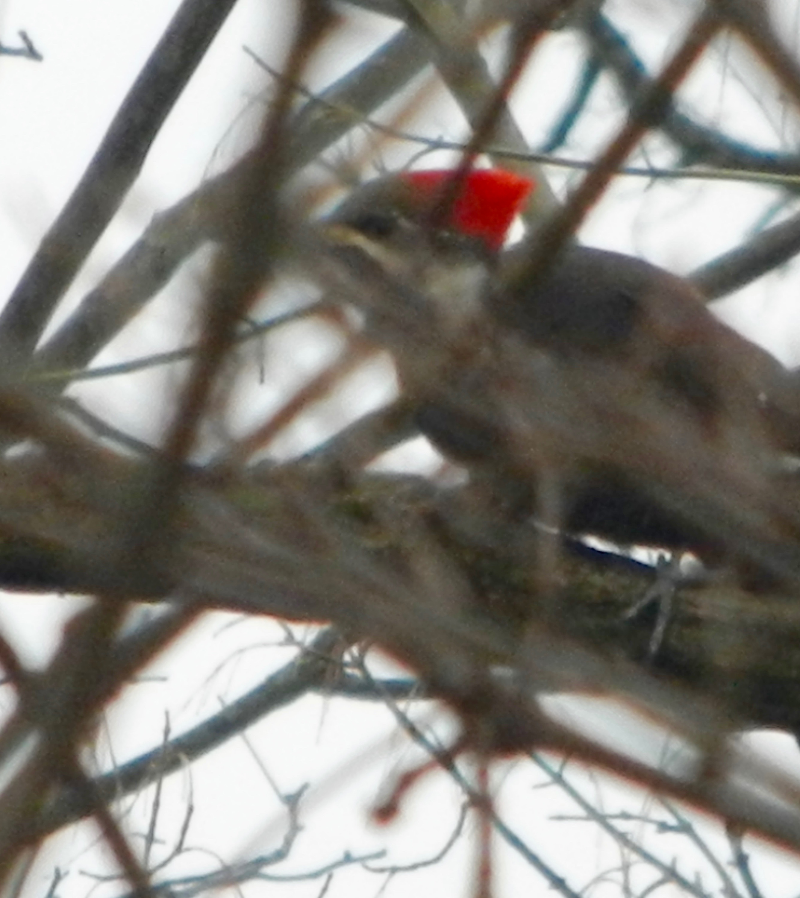
Below is the female Pileated woodpecker which I was able to get one photo of.

I’ve wanted to see this bird for years! A true beauty, must have inspired the character Woody Woodpecker. There were a pair, a male and female. The above is a male.
Below is the female Pileated woodpecker which I was able to get one photo of.
I look at the weather models almost daily, and this winter has been difficult for the weather models beyond five days. The run to run consistency, especially with storm tracks just hasn’t been there in the medium and long range.
That said, it looks like a close call for this Tuesday, where a coastal low will just miss us. Each consecutive model run has moved the storm closer to the coast but still has it missing our area at the current time.
Of greater interest is a coastal low-pressure system that is expected to move up the coast on Saturday. This has the potential of bringing our first snowfall for the season . We will have to keep an eye on this since, lIke so many storms this winter, it may disappear from the forecast maps in a day or two.
Low pressure will move through this evening (Friday) with moderate rain and will depart Saturday morning.
For Saturday, the pressure gradient due to the deepening departing low pressure will cause windy conditions for Saturday. Broken clouds are likely by afternoon, with some sun at times. High near 50, but will feel colder due to the windy conditions.
Another frontal boundary moves through Saturday night with some clouds lingering into Sunday. Sunday will be colder and less windy, but high temperatures only near 40. Yet another polar front moves through Sunday night, winds pick up and much colder air moves in for Monday.
As of tonight, there are still no snow storms showing in the medium range forecast models for our area. (Several storms predicted long range over the past few weeks have not materialized.)