It appears that the extreme cold that was expecteded to spawn low pressure directly over us will to stay over the Appalachians and our area will be indirectly affected by that initial upper air impulse. The secondary coastal low is now expected to form offshore, and both will be too far south and then too far east to directly affect us. There continues to be differences in the models regarding the amount of showers/snow flurries, but the trend has been that much, if not all, will miss us.
It will get colder and WINDY, but the chance of light snow showers here is looking slimmer and slimmer.
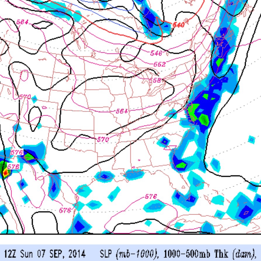
An unsettled weather pattern develops over the weekend, as a deep upper air trough in the middle of the country closes off over the Great Lakes and a cyclonic flow affects our area Saturday through the early part of next week.
The cold front associated with this upper trough moves through Saturday morning with some rain, ending about noon. The unstable cold flow aloft will bring windy conditions and instability cloudiness on Sunday.
A cold front will move through on Saturday and clear the coast by Sunday morning. The models have been consistent with the timing and features of this frontal passage.
Thunderstorms and showers will precede the frontal passage, most likely occurring late Saturday afternoon and evening. It will be very warm humid on Saturday with highs near 87.
Skies clear for a beautiful Sunday, with fair skies, lower humidity, and cooler temperatures with a high near 79.