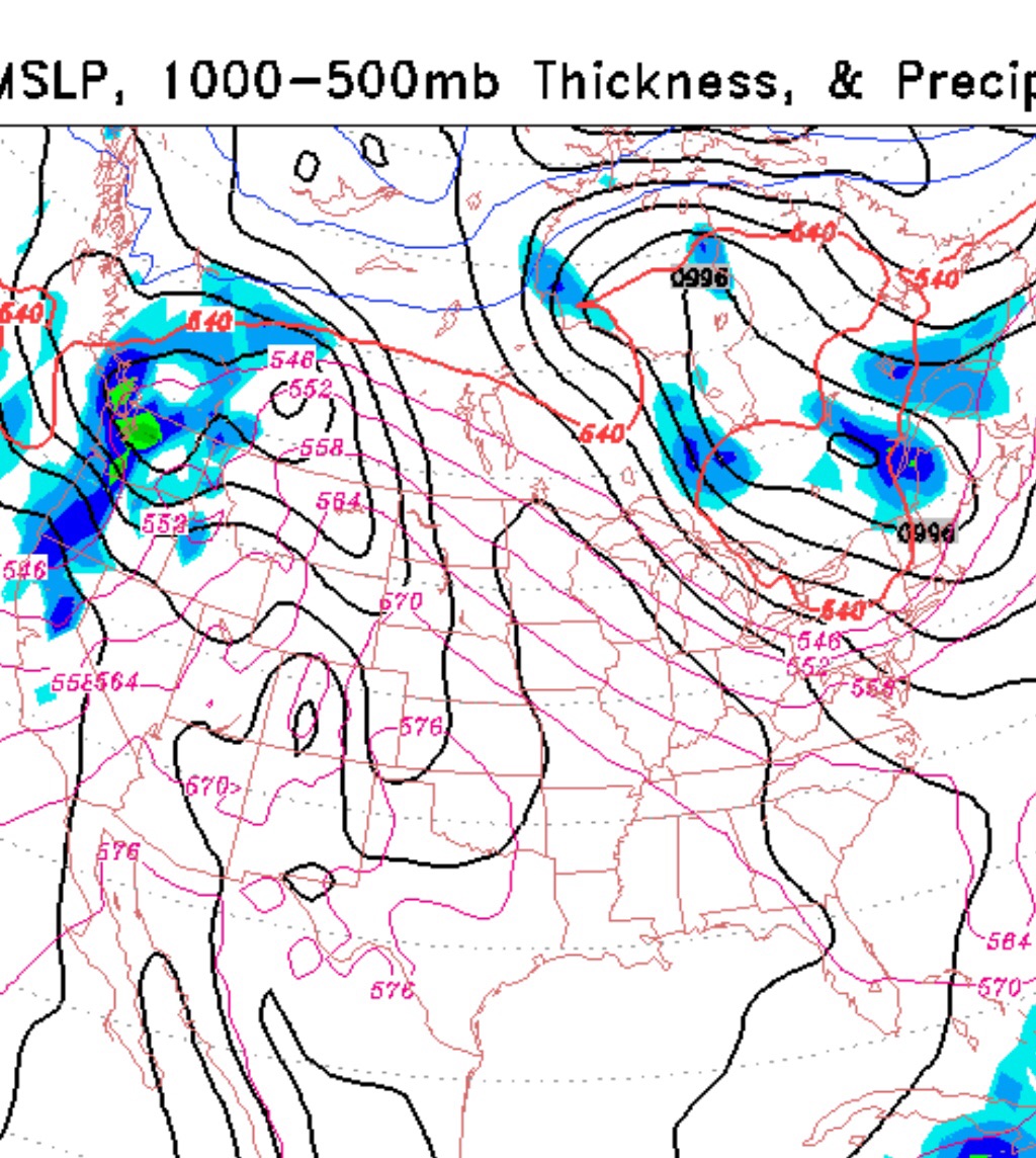
Our weather this weekend will be dominated by an upper air trough that will almost cut off over the northeast. There isn’t much moisture but the pool of cold air aloft will cause some cloudiness each afternoon.
The amount of cloudiness may be greater than is currently being forecast and may reduce the high temperatures each day. The upper air flow will also cause windy conditions, especially Sunday morning.
For Saturday, sunny early, then periods of cloudiness early afternoon. Breezy. Clouds dissipate late afternoon. High 63.
For Sunday, very similar conditions, a bit windier in the morning before some cloudiness develops in the afternoon. High 64.
An interesting weather scenario. The features on today’s GFS forecast model are totally different than what was predicted last week.
Saturday features a developing upper air trough moving over our area with a dry frontal passage late Saturday afternoon accompanied by clouds and some windy conditions. Temperatures on Saturday still mild with a high of 68.
The trough will be over us on Sunday with fair skies and much cooler temps. High in the 50s. An upper air disturbance approaches late Sunday with clouds moving in late in the day.
While the long range forecasts haven’t been consistent over the past week, the GFS suggests an unsettled period of weather next week as a closed low cuts off over us.