Category Archives: Philadelphia Area Weather Forecasts

Philly Winter Weather Forecast

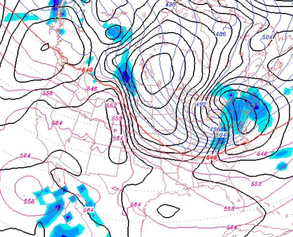
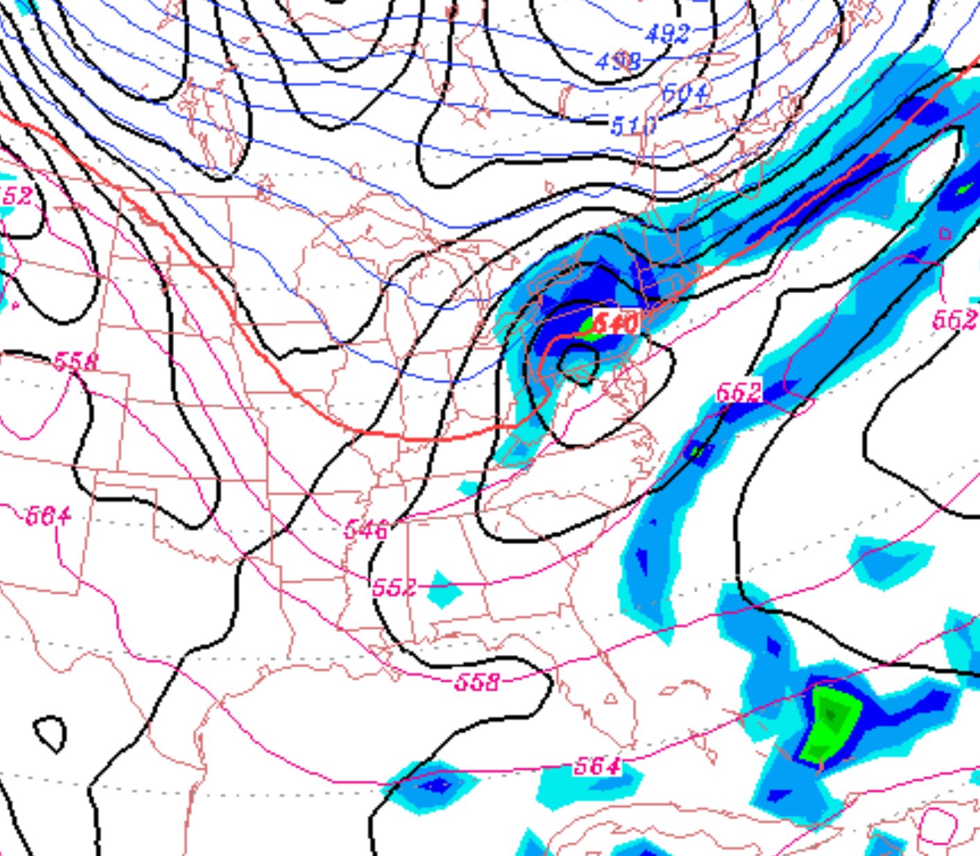
Some snow expected tonight for Philadelphia . #PAwx   The models are very similar with the track and timing of the storm that will move south of our area and out to sea tomorrow.

Snow will start tonight before before midnight and will essentially be over by about 8 AM for PHL.    Total amounts are expected to be 4-6 inches.   The GFS , as always, has a lower QPF than the NAM model.  (0.25 inches water GFS vs about 0.39 inches water NAM).

It will be a light, fluffy snow and any major error in predicting snowfall totals will likely be a temperature effect on the QPF :snowfall ratio.   The ratio is generally taken as 1:10, but with colder temperatures, higher ratios occur.  With scenarios like this, I think the higher QPF from NAM might be more on-target.

Areas to the south and east will have more snow, areas to the north and west less.

Again, the snow ends by 8AM, so much of the day will just be cloudy.  Sun angles are getting higher this time of year and insolation through clouds may help reduce snow cover on roads even with the “high” temps of 26 expected.


Arctic Frontal Passage For Saturday Evening

GFS surface prediction for early Saturday evening

As has been advertised all week, another clipper system associated with an arctic cold front will move through our area late Saturday afternoon into Saturday evening. All models have been very consistently predicting a QPF of about 0.15 inches water, which will translate into 2-3 inches of snow.

After a cloudy day, Saturday, the snow will start late Saturday afternoon and will end during the evening hours. Temperatures will be just under 30 in the afternoon, but will drop precipitously early Saturday evening as winds dramatically increase to 30-40 mph with higher gusts. A memorable frontal passage!

Temperatures during the day Sunday will be cold despite some sunshine, high near 16, with windy conditions. Temperatures Sunday night into Monday will fall to 1-3 degrees F in Philadelphia with lower temps outside the city.

Philly Winter Weather Forecast

It now appears that the front will stall to our north over the weekend, keeping us in a warm sector. Low pressure disturbances will ride along the front, but the over-running precipitation will be to our north.

So Saturday will have some sun or bright skies in the morning, but clouds will increase by late morning and a cloudy afternoon will be on tap. No rain and temps relatively mild, in the mid 40s.

The same frontal boundary will start drifting towards us on Sunday, with a thicker cloud cover expected, but no precipitation and continued mild temps.

On Monday, the front will make a final push to our south as low pressure forms along it. Much of the day, PHL will remain in the warm sector, but the atmosphere chills late afternoon as the low reaches the coast. All rain for much of the immediate PHL area, but there may be a changeover to light snow very late afternoon, from the northwest into PHL with minimal accumulation.

GFS model prediction for Monday