Tonight’s models show sky conditions on Sunday to be similar to Saturday — considerable clouds much of the time, but breaks of sunshine and bright spots also possible. One version of the HIRESW has a lot more sunshine especially in the afternoon.
The NAM NEST has some fog early morning as well. Brief light sprinkles very widely scattered still a possibility.
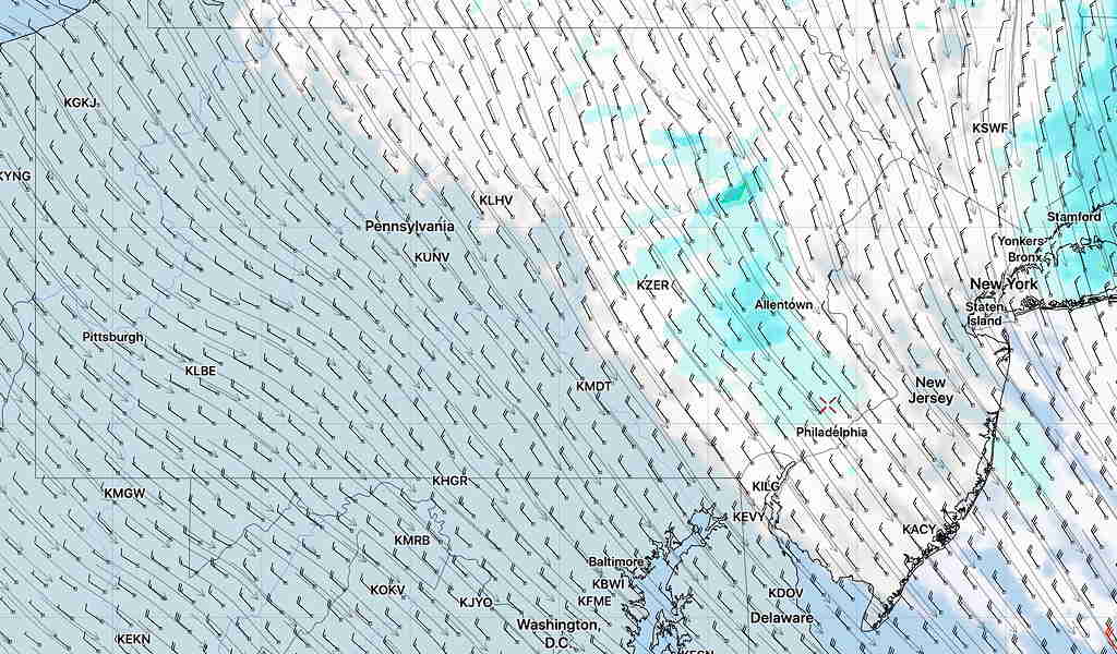
Sunday Brief Update: Last night’s models continue with cool, cloudy conditions today. The warm front stays to our south and high temps may only be in the mid to upper 50s!
Light, scattered drizzle in the morning, a bit of brightening skies 12-4 PM, then some light, organized showers about 6-8 PM.
Best time for some exercise outdoors is from 12-4 PM.