A cold front moved through Thursday night and cold air will be in place Saturday morning. The surface winds switch to the southwest Saturday morning and some moderation in temperature is expected. Sunny skies and a high temperature around 50 is expected.
Mid level cloudiness will moves in during the late afternoon Saturday as another cold front approaches.
The cold front moves through early Sunday and skies clear. Fair skies with high about 53.
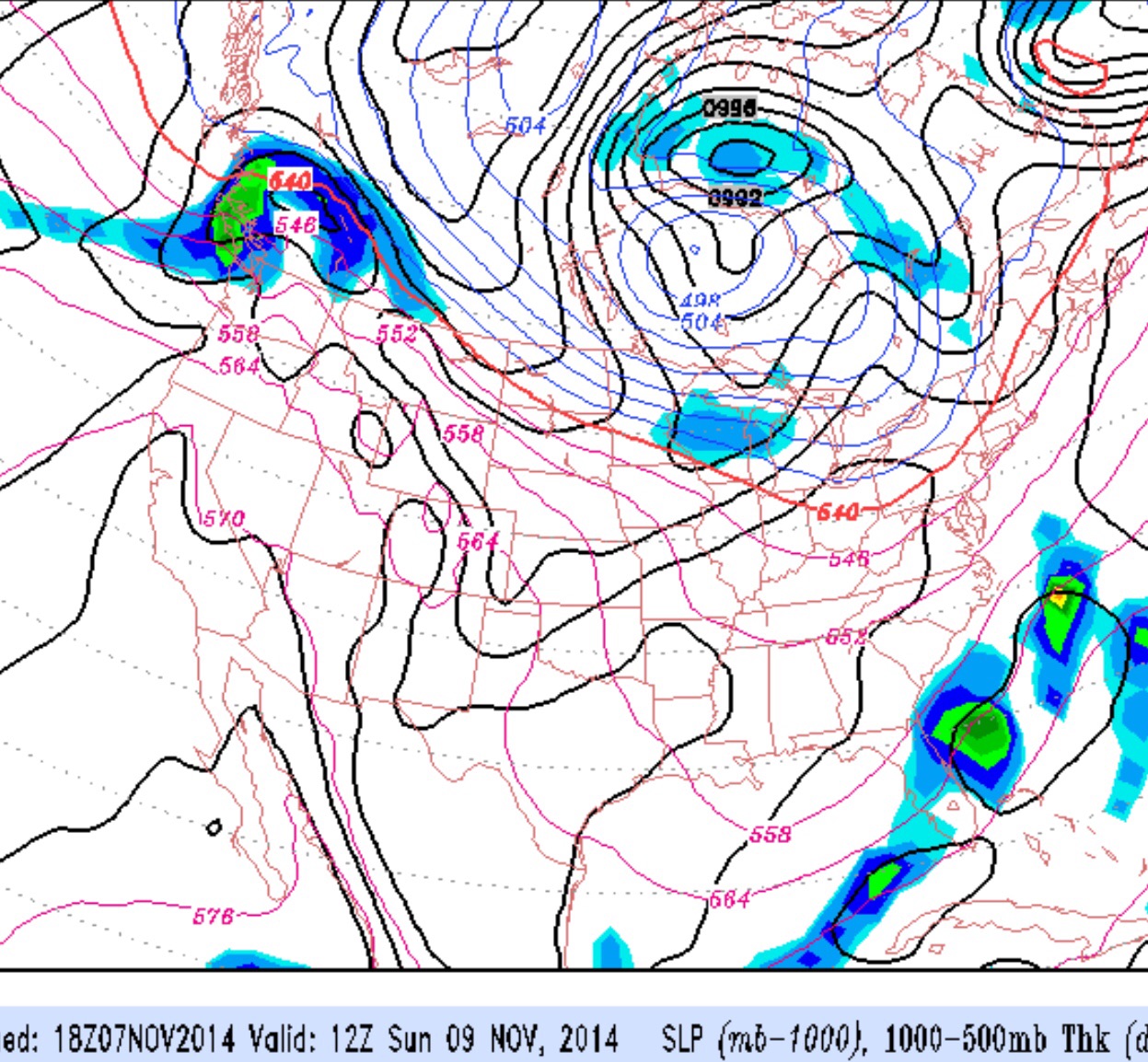
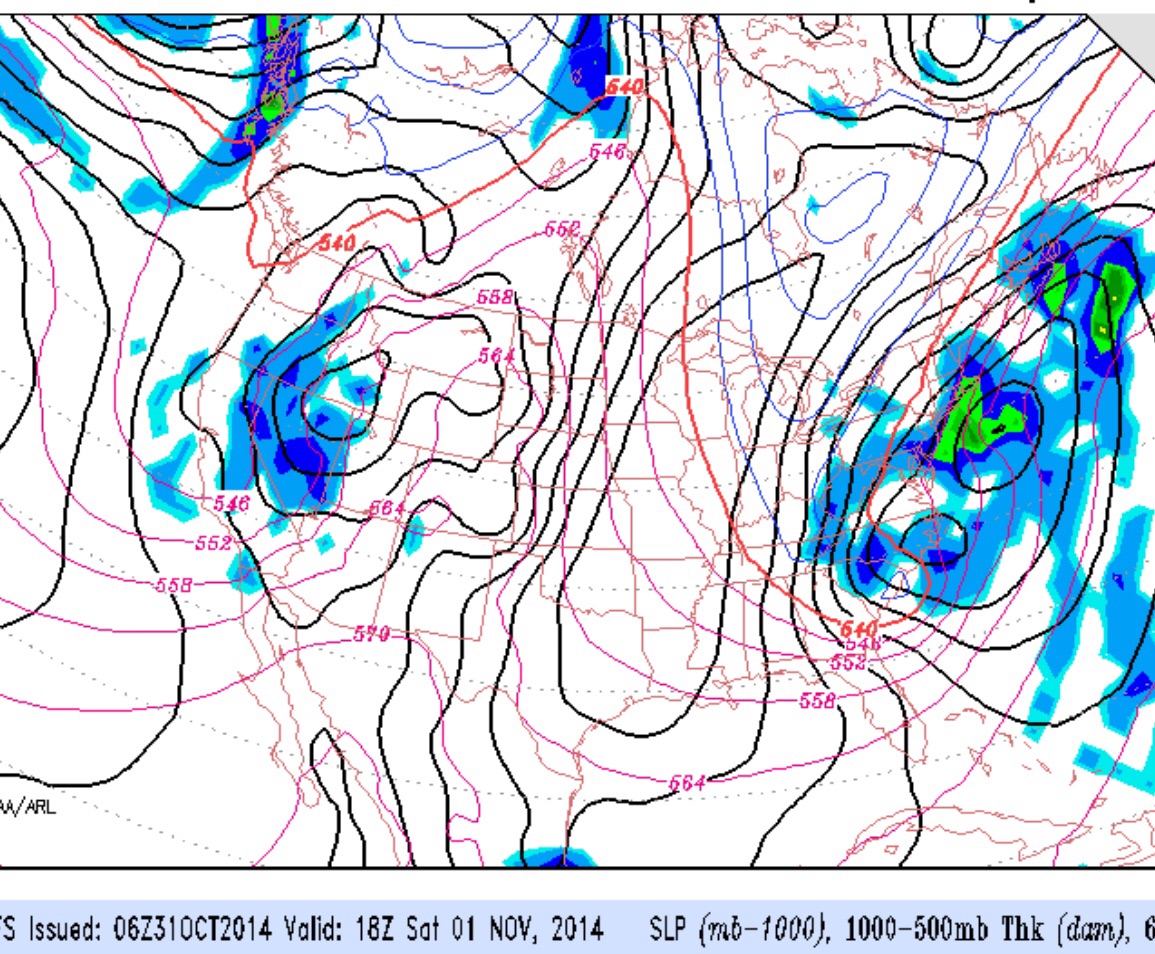
Last night’s GFS model continues to show considerable rain over our area Saturday before the surface low intensifies further off the coast Saturday night.
For Saturday, expect periods of rain especially mid day. Becoming increasingly windy. High 49.
For Sunday, the low pressure system will continue to affect us indirectly, with very windy conditions. Some sun in the morning will give way to instability cloudiness in the afternoon. High temperatures around 50.
The model forecasts for the sharp upper trough expected to develop late Friday into Saturday continue to change. Yesterday, the trough was expected to spawn two surface lows, both fairly far off the coast. The latest GFS shows a single deep coastal low develops closer to our area and brings more rain into our area on Saturday. The surface low will deepen and bring very windy conditions to our area Saturday.
Right now, temperatures are not going to be low enough have snow or snow showers as had been thought earlier in the week. But the trend is for windier conditions and more rain on Saturday.