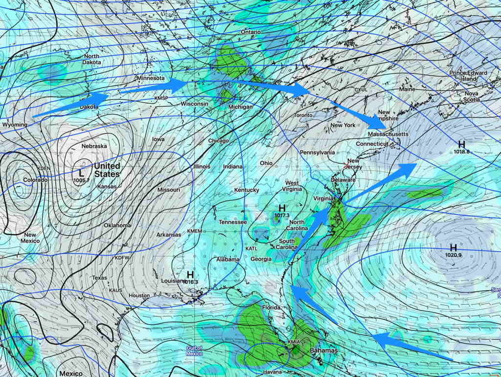
A weather pattern change is coming. For the past two to three months, we’ve had a persistent weather pattern characterized by an upper air trough with the upper flow coming in from the northwest, as shown below (from June 24th).

The usual “Bermuda High” that we always hear about in summer was nowhere to be found.
Starting this coming weekend, a more typical summertime pattern is forecast to develop with the upper trough we’ve had transitioning to an upper air ridge and a Bermuda High bringing a southwesterly flow of hot and humid air to our area.

Temperatures are expected to move from the current highs of the mid to upper 80s to much hotter high temperatures in the low to mid 90s with higher humidity. (Current average high temp is 86º)
