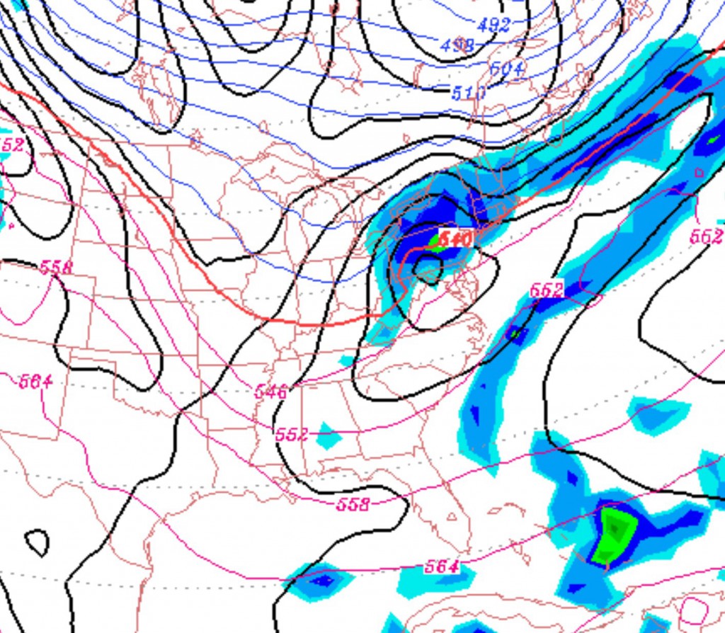
It now appears that the front will stall to our north over the weekend, keeping us in a warm sector. Low pressure disturbances will ride along the front, but the over-running precipitation will be to our north.
So Saturday will have some sun or bright skies in the morning, but clouds will increase by late morning and a cloudy afternoon will be on tap. No rain and temps relatively mild, in the mid 40s.
The same frontal boundary will start drifting towards us on Sunday, with a thicker cloud cover expected, but no precipitation and continued mild temps.
On Monday, the front will make a final push to our south as low pressure forms along it. Much of the day, PHL will remain in the warm sector, but the atmosphere chills late afternoon as the low reaches the coast. All rain for much of the immediate PHL area, but there may be a changeover to light snow very late afternoon, from the northwest into PHL with minimal accumulation.

