It looks like the rain moves in about 10AM to noon on Friday. There’s still a good chance that wet snow mixes in (non-accumulating) between 4 and 6 PM and tapers off during the evening hours.
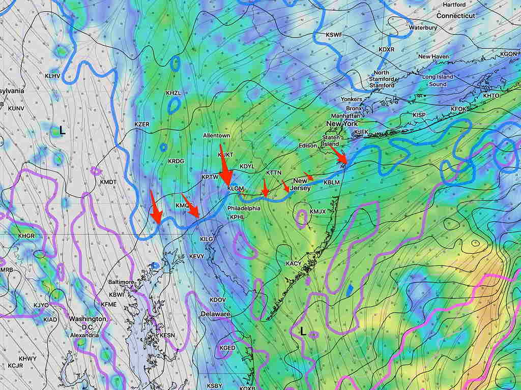
Here’s the latest High Resolution Ensemble Model (the version I lately prefer): the HIRESW-ARW MEM2. The arrows point to the lowest critical temperature line for snow moving through at 4 PM- 6PM—