
#Philadelphia #weather #PAwx #PhillyWx
The beautiful weather will continue through early Sunday. High pressure maintains its hold through Saturday, but a southeasterly flow from a newly formed weak coastal low and a front to our northwest that loses its upper air support will bring a bit more humidity and some cloudiness for Sunday afternoon and evening. (The shore stays sunny, according to the RRFS.)
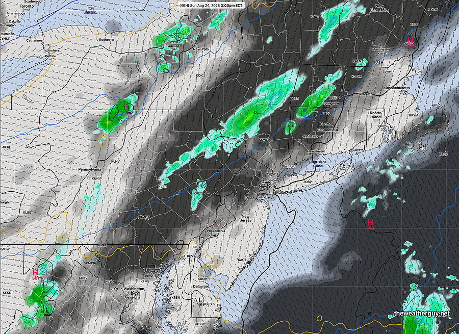
Showers originally expected for Sunday afternoon will likely fall apart as they approach Philadelphia due to a diffuse, broken jet streak.
Saturday Forecast
Sunny and quite nice. High 84° Blue Bell, 83°Philadelphia (not a typo)
Sunday Forecast
Somewhat increased humidity, but dew points still in the low 60s. High thin clouds in the morning lower to mid level clouds in the afternoon. No showers expected until later in the evening. Most areas may receive little or no rain; any rain will be light.
NBM high temperatures: Blue Bell, PA 84º Philadelphia, PA 83º
Uncertainty (based on standard deviation): ±1.4º