
#Philadelphia #weather #PAwx #PhillyWx
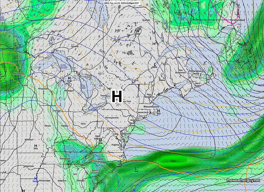
This week’s weather will be influenced by a welcome mass of cooler air from Canada (Gee, I hope they don’t start using this export in the trade war.) We’ll have this relief today through some of Thursday.
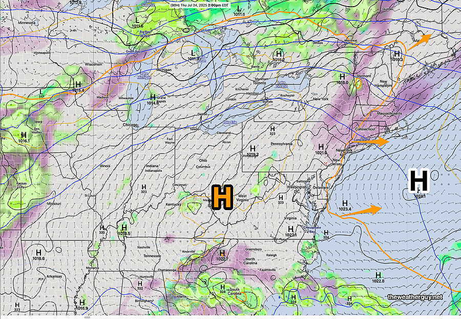
By late Thursday, the return southwesterly flow will bring back some of the heat and humidity.
We’ll have to see if any warm front develops on Wednesday in advance of the return of tropical air.
Models used for this forecast: GDPS-AI, ECMWF-AI