
#Philadelphia #weather #PAwx #PhillyWx
The remnants of tropical depression Chantal are located in North Carolina and the moisture and energy of this weak system is expected to move over our area on Monday.

Some showers are breaking out in Delaware at this time (Sunday evening) and some showers may make into Delaware County and just south of the city by 8 PM.
More numerous showers and thunderstorms will develop on Monday. Shear and helicity values are weak. The main issue with these showers and storms will be the possibility heavy, slow moving rainfall. The showers will be scattered.
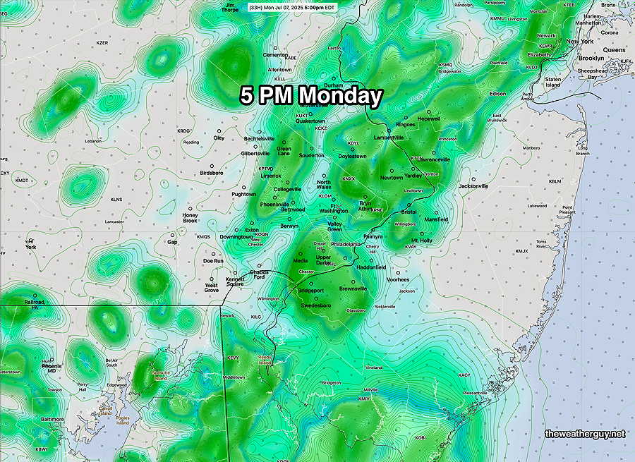
For Monday, a few scattered showers are possible in the morning, but the real deal will be during the afternoon where daytime heating will induce these showers and storms. 2PM to 8 PM will be the likely time slot with showers peaking around 4PM – 5 PM Monday. It will be warm (mid 80s) and VERY humid.
Here’s the latest REFS forecast for 5 PM
Daytime hours on Tuesday look to be dry until about 4 to 8 PM, when showers and storms move in from the southwest. It will be very warm and VERY humid on Tuesday