
#Philadelphia #weather #PAwx #PhillyWx
Originally Posted Sun 8:50 PM —The ‘cold’ front that moved through Saturday has stalled just to our south and thunderstorms have been breaking out in South Jersey for much of Sunday, especially near the Delaware Bay and Cape May.
The front will return as a warm front on Monday. Large differences in the forecast exist for Monday morning. The AI version of the ECMWF and the latest GFS have scattered showers breaking out early Monday morning, while the regular ECMWF, the AI version of the Canadian GDPS keeps us dry until 2-4 PM.
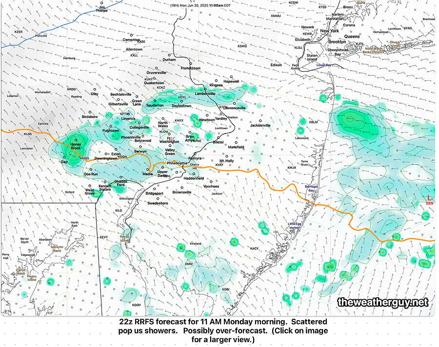
The experimental RRFS has scattered pop-up storms in the morning; this may be an example of its tendency to over-forecast convective rain.
The ECMWF-AI has so much precipitation and clouds in the morning that it keeps our high temperatures in the mid to upper 80s instead of the low 90s forecast by the drier forecasts.
The model blend (NBM) keeps us dry Monday morning as well, and I’m leaning towards its forecast. Its high temp in Philadelphia is 90.5º
It’s a tough call.
The models all come together by Monday afternoon with showers and thunderstorms popping up anytime between 1 PM and 4 PM and continuing into the evening. Peak time is about 6 PM according to the NBM.
Tuesday looks even more interesting, as a cold front moves into very moist and unstable air over the Philadelphia region. Stay tuned.