#Philadelphia #weather #PAwx #drought
Posted Saturday 10/26/24 @ 4:45 PM — Still keeping an eye on the potential for some rain here in Philadelphia, but we’ll have to wait until November 3rd though November 6th, according to the statistical ensemble models and the GFS, ECMWF AI models.
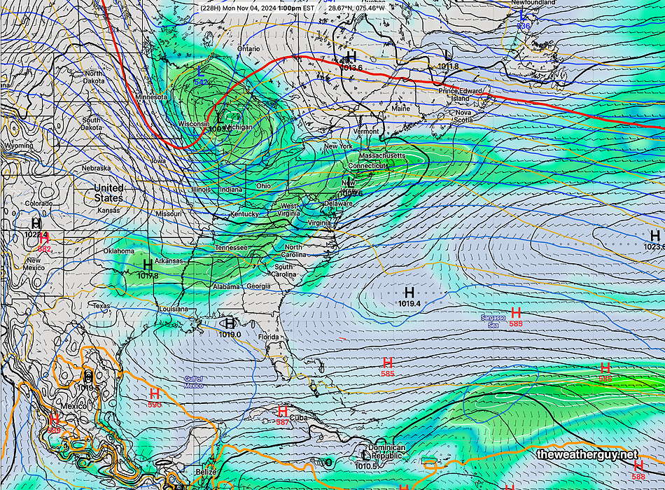
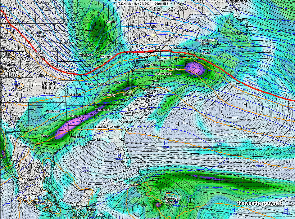
The latest GFS Graphcast Machine Learning-AI model is the most aggressive with some rain and low pressure development—

The latest ECMWF-AIFS is less aggressive with low pressure development and rainfall here—

“AI is transforming weather forecasting. Is the U.S. falling behind?“
Originally Posted Fri @ 5:41 PM — —Our dry sunny weather continues…
A cold front will make a dry passage through the area tonight. It will take some time for the cold air to filter in, so Saturday will be in the mid 60s and temperatures drop into the mid to upper 30s Saturday night.
Sunny skies will continue Sunday with highs dropping to the upper 50s to near 60º in some spots. Cold temperatures Sunday night before things warm up again into next week. Indeed, we may see temperatures near 80º on Halloween!
With so little happening weather-wise in the short term, I’ve been checking the extended range models and newer AI models for any signs of some rain here, Our next chance of any rainfall appears to be between November 2nd and November 5th. Some of the extended statistical ensemble models hint at some unsettled weather during this period and perhaps a pattern change.
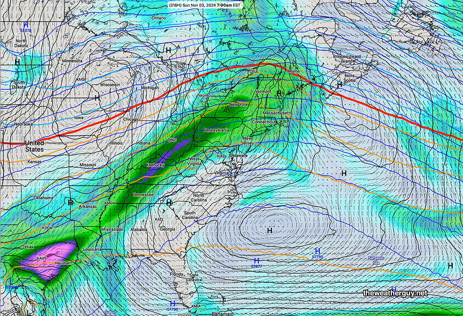
Here’s the latest ECMWF-AIFS forecast for Sunday, November 3rd—

