The sharp cold front is expected to move through Philly between 5-7 PM today (Saturday). Before that time, expect high temps in the low to mid 60s. After the frontal passage, winds will rapidly pick up from the northwest and continue through the night. Temperatures will drop rapidly after the cold front moves through.
For the Philly Marathon on Sunday, expect partly to mostly cloudy skies and windy. Sustained winds near 18 mph mid-day with higher gusts. High temperatures about 44. There’s a chance of a quick, light snow flurry during the afternoon.
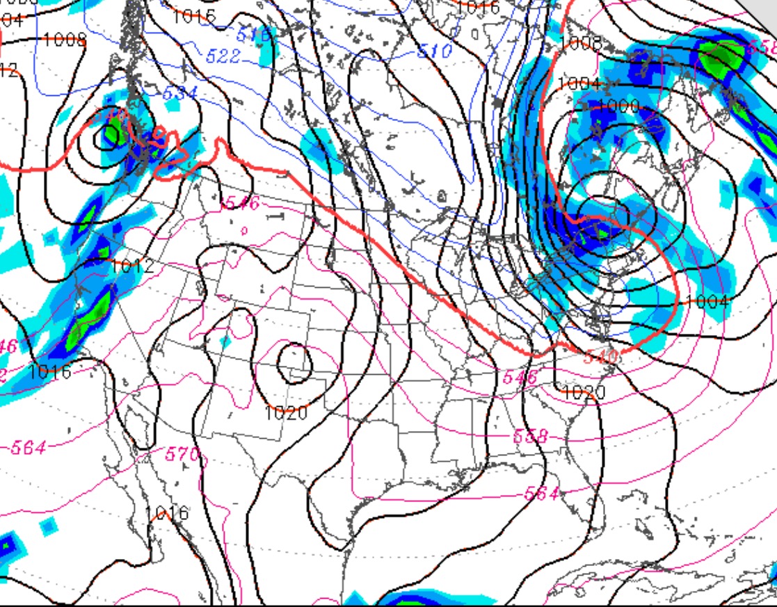
An amplified jet stream moves a cold front through late Saturday afternoon into early evening.
Saturday will be sunny and mild for most of the day with high temperatures in the low to mid 60s. Clouds increase about 3-4 pm, then a brief light shower about 5-7pm with a dramatic shift and increase in winds from the northwest. Temperatures drop rapidly into the 40s.
Sunday will be mostly cloudy, continued windy and chilly with high temperatures only about 45.
It’s too soon to give my annual Winter Climate Outlook, but I’d like to share some observations about current weather trends.
We’ve been in a mild pattern, but a highly advertised jet stream amplification for late Saturday into Sunday will give us the first taste of cold windy weather for next week. We might have some light snow showers on Sunday.
For Wednesday before Thanksgiving, and Thanksgiving Day, the models have been showing another cold front moving through with showers early in the day Thursday. The intensity of the low pressure system with this cold front has been hard to model and it’s looking less strong with recent model runs.
The first week of December is looking very active across the country and cold in our area, as a more amplified jet pattern seems to be developing.