#Philadelphia #weather #PAwx
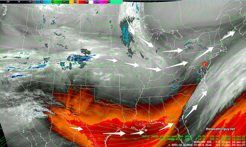
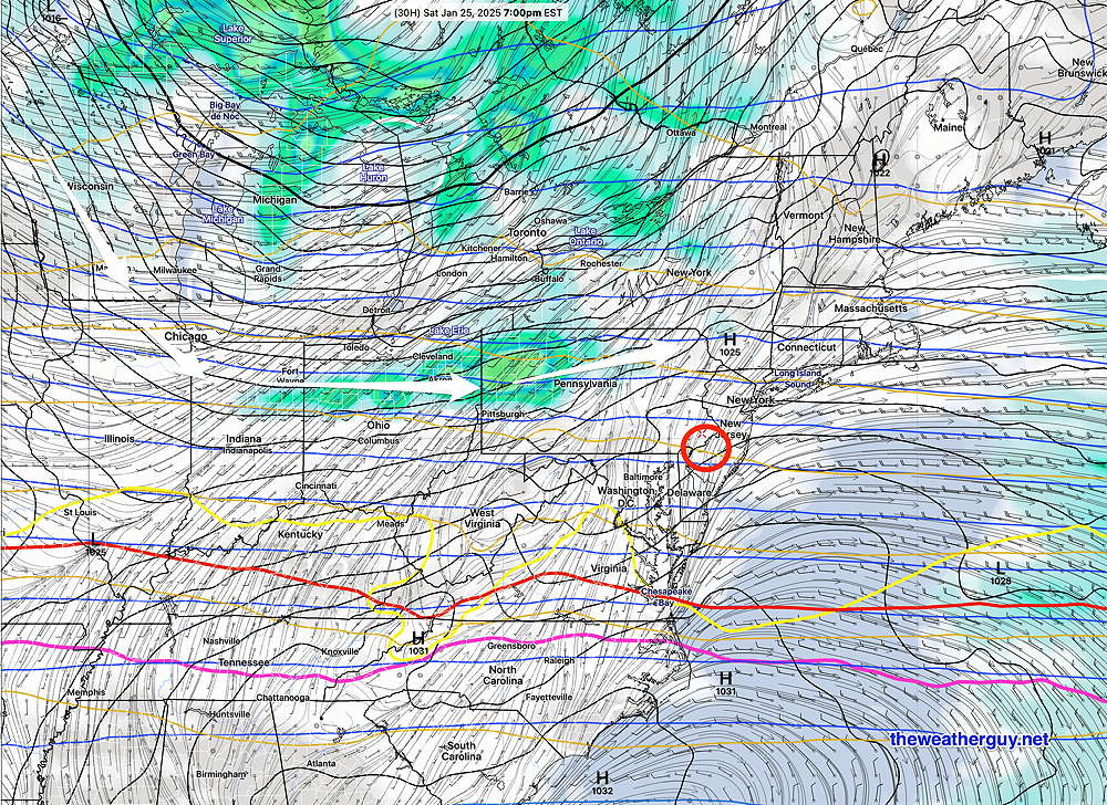
An upper level trough with cold high pressure that has been with us seemingly forever, will lift off to our northeast on Saturday. A disturbance passing to our north will bring just cloudiness Saturday night and during the morning on Sunday. Clearing Sunday afternoon.

The latest GFS shows the disturbances that will move to our north—

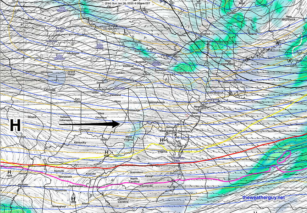
By Sunday afternoon , the weak disturbance has moved to our northeast along with a weak trough. High pressure builds in from the west—

Saturday Forecast
Mostly sunny and continued cold. Increasing cloudiness in the afternoon. Temperatures still remain near or below freezing.
NBM high temperatures: Blue Bell, PA 31º Philadelphia, PA 32º
Low uncertainty (based on standard deviation): ± 1.4º
Sunday Forecast
Cloudy in the morning. Winds increase along with gusts towards noon. Decreasing clouds in the afternoon with some sun likely during the Eagles game. Wind decrease towards late afternoon.
NBM high temperatures: Blue Bell, PA 39º Philadelphia, PA 41º
Low uncertainty (based on standard deviation): ± 1.2º
Just out of curiosity, the ECMWF AI forecast is still forecasting 50º + temperatures for Wednesday while the operational models have us just in the mid 40s The NBM shows the standard deviation for the high temp on Wednesday to be an incredibly high: ± 7º. I’m curious how it plays out.
BTW, much more active weather is likely beginning next weekend. Punxsutawney Phil will have his hands (paws) full. Stay tuned.
