#Philadelphia #weather #PAwx
Quick Update
Posted Saturday 09/21/24 @ 11:42 AM — A quick update before I enjoy this beautiful day.
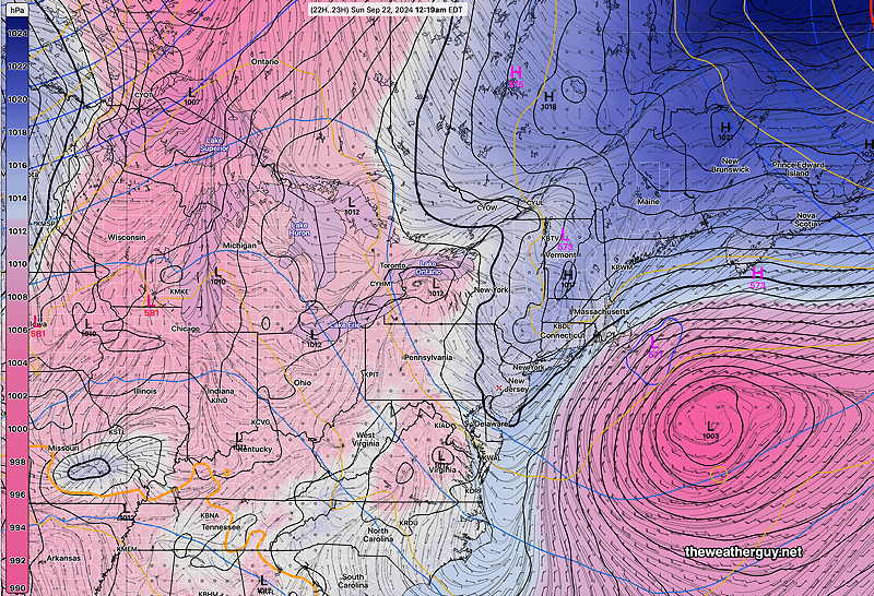
High pressure continues to nose down over our area. This persistent high pressure has blocked several systems and associated rainfall from moving in over a long period.
GFS with persistent high pressure nosing down into our area—

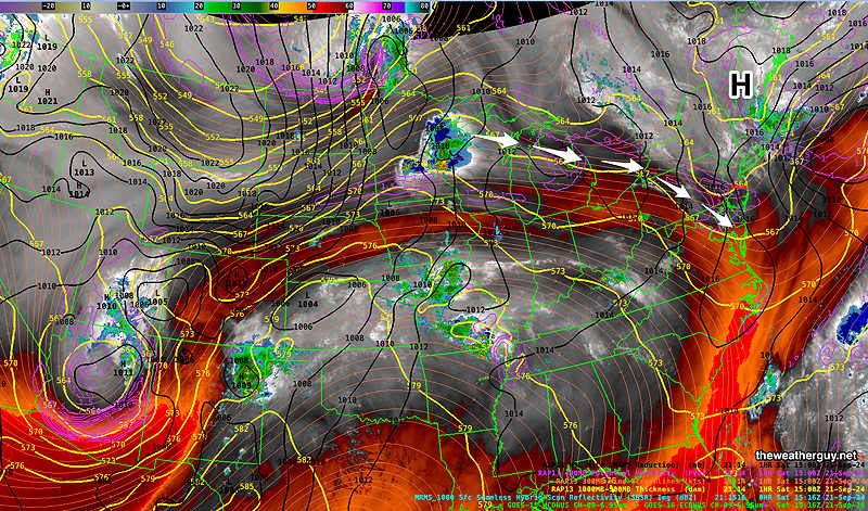
A disturbance is moving over the ridge in the central US and will move down across our area tonight around and after midnight—

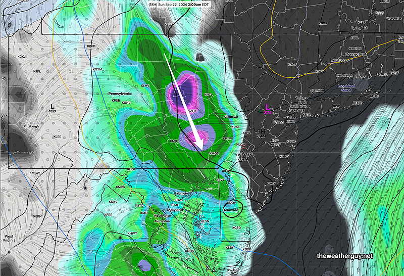
The latest GFS now shows this high pressure blocking the rain again from entering the immediate PHL area—

A possible pattern change next week and a hurricane affecting the Gulf states promises some interesting weather.
Saturday
High pressure will continue to give us mostly sunny skies (with a few periods of clouds) on Saturday. A disturbance dropping southward will move mostly west of our area after midnight Saturday with some showers and possibly some rumbles of thunder.
Highs 80º (Blue Bell) 81º (Philadelphia) Uncertainty: Low
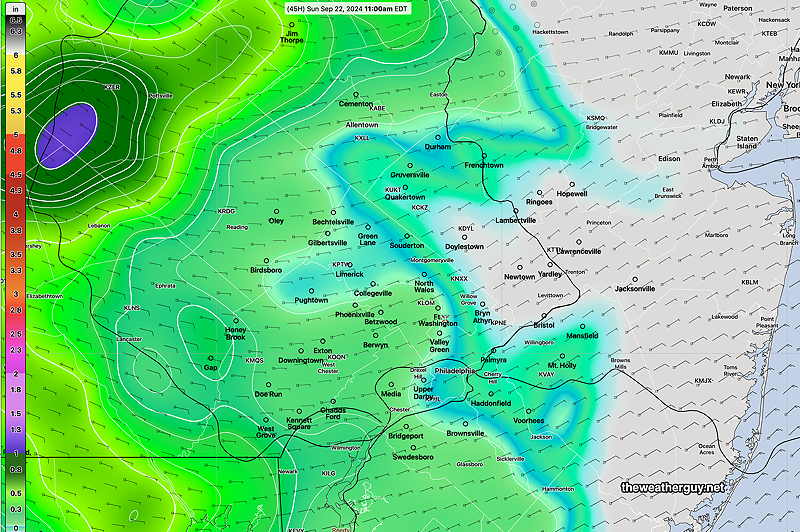
The models are in fairly good agreement with this scenario. Here’s the Canadian RGEM total rainfall by Sunday morning—

It wouldn’t surprise me if rainfall doesn’t make it into Philadelphia, which has been the case many times in recent months.
Sunday
The disturbance departs but the GFS keeps moisture at the lower levels. I’ll go with cloudy early, then partly cloudy/partly sunny, but the cloud cover may be more than currently expected.
Highs 74º (Blue Bell) 76º (Philadelphia) Uncertainty: Low
