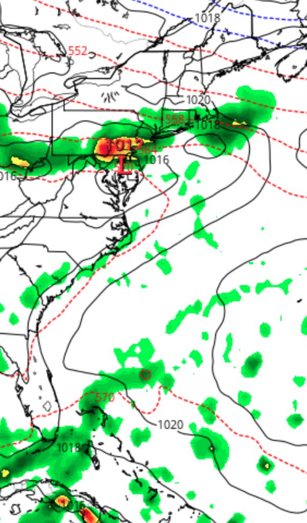
This weekend’s Philadelphia weather forecast will be lower confidence than usual. As mentioned, a frontal boundary moves south and stalls as waves of low pressure move along the front. The waves of low pressure may make the boundary quasi-stationary causing the boundary to undulate slightly north and south with each wave.
The timing of the waves and the exact placement of the front with each wave will determine our sensible weather. There remain differences in timing with the GFS and NAM models. I’m going to blend the two to attempt a forecast with an emphasis on the NAM.
(Last week’s GFS over-predicted precipitation and it resulted in a poor forecast for both days; last week’s weather was forecast better by the NAM.)
Saturday starts damp and cloudy with possible showers ending early. Expect skies to brighten mid-day and early afternoon, with even some sunshine possible. Light winds and increasingly humid. Showers and thunderstorms develop later in the afternoon and continue into the evening hours. Some of the showers may be heavy. High 82

The front sinks to our south Saturday night.
On Sunday as an easterly flow develops. Cloudy and cool conditions (High 67) but not too wet, according to the GFS, but the National Blend of Models (NBM) and NAM maintains a good chance of showers during the day Sunday and especially Sunday late afternoon into evening.
