Philly Labor Day Weekend Weather Forecast

GFS Surface Forecast late Sunday

High pressure slowly moves off the coast.  A southeasterly flow of moisture on Saturday will herald the approach of a warm front  that moves through Saturday night.  Warm and very humid conditions return late Saturday night through Monday.

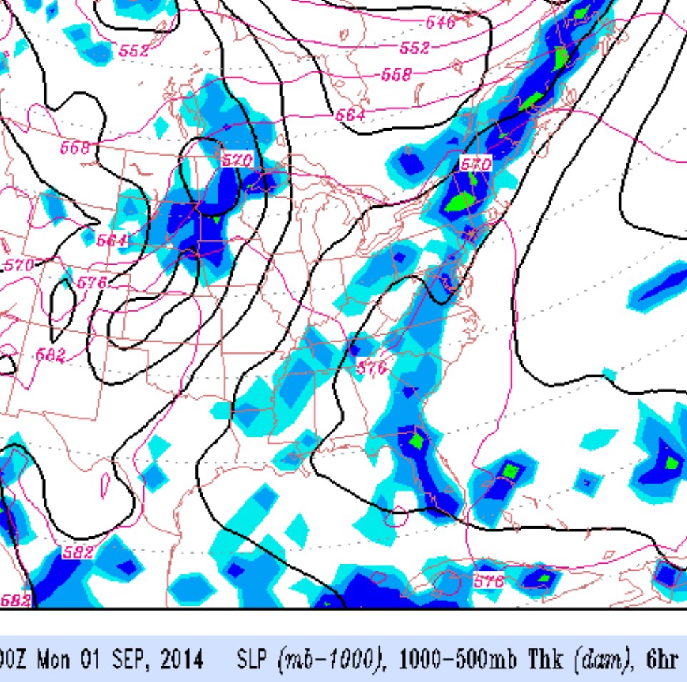
A southwesterly flow of moisture will cause showers late Sunday through most of Monday, but the shower activity will be scattered.

It will not be very wet this weekend, but clear blue skies will be in short supply– expect considerable cloudiness from late Saturday through most of Monday with warm and humid conditions.

A chance of a shower is possible any time from Sunday afternoon through Monday.

Saturday 8/30: Sunshine giving way  to increasing cloudiness during the day.  Becoming more humid. High 83

Sunday 8/31: Considerable cloudiness with some sun, increasing chance of showers during the late afternoon. Very humid. High 86

Monday 9/1 :  Considerable cloudiness, some sun, very warm and very humid. Chance of scattered showers.  High 88


Philly Labor Day Weather Outlook

GFS Forecast for the Sunday before Labor Day

As mentioned in recent previous blog posts, there hasn’t been much continuity with forecast model runs over past weeks. What seems like a reasonable forecast two days in the future becomes an imaginary scenario as the day of the forecast approaches.

The same uncertainty is already manifesting itself with this coming Labor Day weekend’s forecast. Yesterday, the weekend looked like a washout. Today, a forecast of rain seems confined to this coming Sunday with the passage of a strong cold front with clearing likely for Monday.

So the forecast is really “up in the air” (where it belongs) for this weekend….there does appear to be a period that we will have rain, but hopefully just one of the three days.

I’ll update later this week.

Weather… and Other Things 'Up in the Air'