Sat 11:16 PM Update — Several of tonight’s models have backed off a bit from the extreme heat previously forecast for Monday. Too early to be sure of this trend.
A hot Sunday and very hot Monday is on tap for the Philadelphia area.
First, reviewing today’s forecast, dew points did stay near 60º, allowing our high temperature of 93-94º to be fairly tolerable. The model blend (NBM) did very well in predicting today’s temperature and “apparent temperature” or “heat index” staying in the mid 90s.
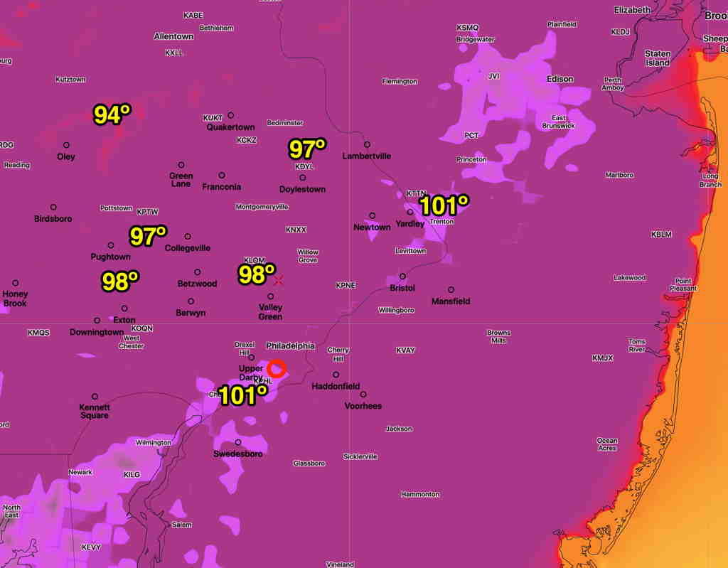
So, going with the model blend for Sunday, Sunday will have a high of 97.5º sd 1.3º. Heat indices (“apparent temperature”) will be in the high 90s for most of the area—

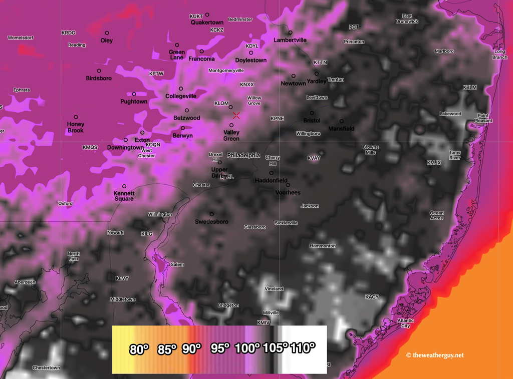
Things get ‘interesting’ for Monday, as temperatures get into the upper mid to upper 90s, but dew points rise to near 70º, giving us very high apparent temperatures (heat indices)—

