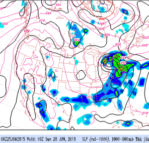
While I heard the TV weather people last night give a forecast of beautiful weather for this weekend, the actual weather forecast for this weekend is anything but a certainty. In fact, this weekend’s forecast is looking to be below average confidence.
A stalled frontal boundary will be just to our south. Waves of weak low pressure are expected to ride along this front bringing periods of showers to Virginia, Maryland and parts of Delaware from Friday through Sunday. Whether this front is suppressed to the south, or whether it tries to develop warm-front properties with moisture moving north of it will determine our actual holiday weekend weather.
The models are hinting that some of this shower activity may ride north of the actual frontal boundary, giving Philadelphia and even South Jersey periods of clouds and showers during the weekend. It doesn’t look to be a blue skies weekend, but neither does it appear to be totally cloudy or showery. A mix of sunshine, clouds and occasional showers is most likely. Timing of the actual showers isn’t possible at this time. Stay tuned.

