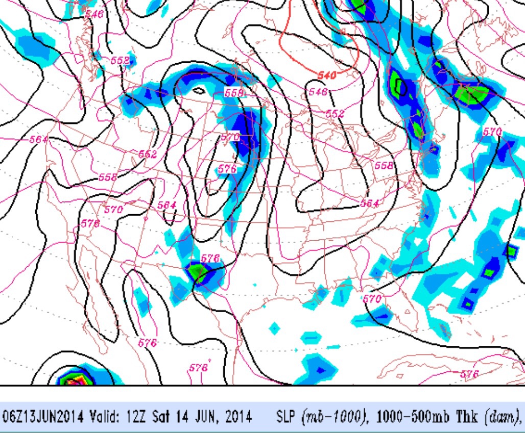
Last night’s showers that interrupted the Phillies game were forecast to occur, but the chances were low probability. Low probability clearly doesn’t mean no probability. The showers were the result of an upper aircyclonic flow and a cool pool of cold air aloft, resulting in instability and lift.
Today’s NAM model continues with the possibility of instability showers developing between 2 PM and 7PM. —- expected to be widely scattered and somewhat more numerous in central NJ.
In fact, the NAM lifted index is forecast to be somewhat more unstable today, so scattered showers are likely, although not every area will see them.
The non-meteorological start of the summer season begins this weekend, and by Monday, it should feel like summer. A lingering reminder of the spring is still with us in the form of an upper air cyclonic flow, and this upper air feature will move away by Sunday.
Before then, the pool of cold air in the upper atmosphere may cause instability showers to form Saturday afternoon, although the models keep the higher likelihood to our north.
Beautiful weather– plenty of sunshine– for Sunday and Monday.