High pressure will bring beautiful and warm weather to our area through the weekend. Humidity is expected to be low, with dew points in the comfortable 50s.
A return flow of southwesterly winds will bring some clouds very late Sunday.
Sat 6/7: Sunny and pleasantly warm. High 86.
Sun 6/8: Sunny and continued warm. High 87
Just a note that the long range models have yet another cool and unsettled period for us in a few weeks.
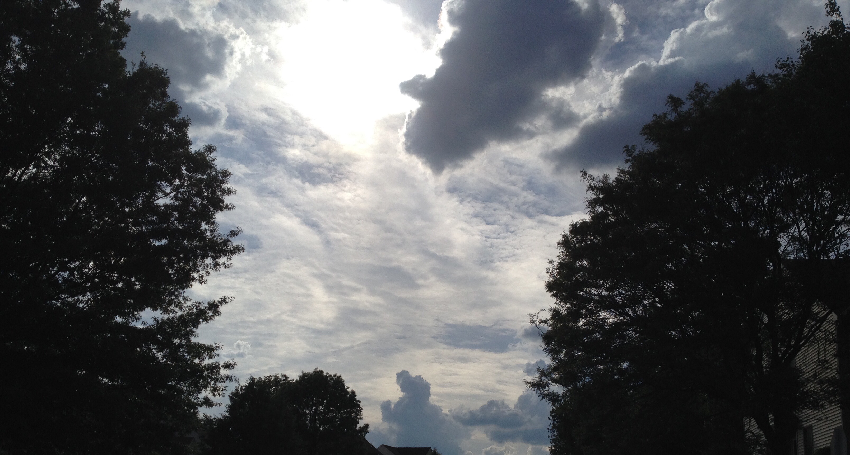
Today’s skies showed “mixed level” clouds- cumulus congestus and cirrostratus/cirrocumulus– an indication of the instability of the approaching weather system and good indication of rain.
A departing up air trough will allow high pressure to build in from the north this weekend.
The instability and resultant cloudiness w’ve had this week as a result of this upper trough will also diminish, and we’ll see more sunshine with continued pleasant temperatures. (Average high temp for this week is about 78 degrees.)
Sat 5/30: Mostly sunny. Pleasant. High 78.
Sun 6/1: Sunny and pleasantly cool. High 77.
Just a note that the long range models have yet another cool and unsettled period for us in a few weeks.

 High pressure will bring beautiful and warm weather to our area through the weekend. Humidity is expected to be low, with dew points in the comfortable 50s.